
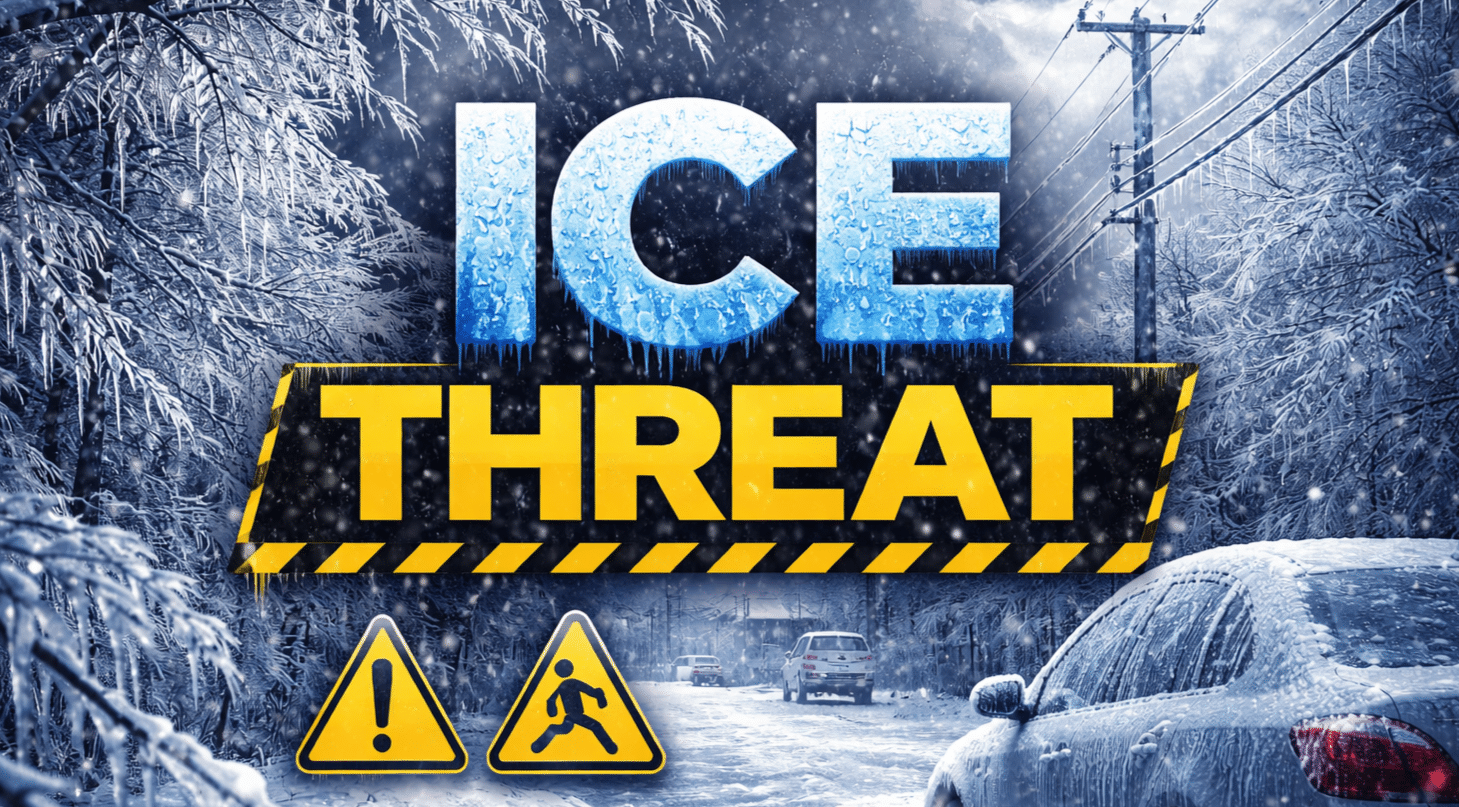
LINCOLN, Ill. — A wintry mix moving through central Illinois Wednesday night could bring a narrow band of minor snow and a corridor of light icing, raising the risk of slick roads into Thursday, according to the National Weather Service office in Lincoln.
Forecasters said light snow and ice accumulations are possible tonight, with the best chance for localized snowfall totals over 1 inch roughly from Macomb to Tuscola, though the exact placement of the band could still shift slightly. South of that band, a 20% to 30% chance of sleet or freezing drizzle could create a light glaze on untreated surfaces.

The weather service’s outlook shows lows tonight between 24 and 32 degrees, keeping conditions favorable for icy spots where precipitation falls steadily. Any slick travel would be most likely on bridges, overpasses and secondary roads during the overnight hours and the Thursday morning commute.
Thursday is expected to turn milder, with highs of 48 to 52 and overnight lows of 31 to 34, the agency said. A sharper warmup arrives Friday, when breezy conditions are forecast with highs of 62 to 68 and lows of 30 to 38.
The calmer, warmer stretch may not last. On Saturday, the forecast calls for highs of 46 to 60 and lows of 20 to 31, with a 20% chance of precipitation and the warmest readings expected south of Interstate 70.
By Sunday, the Lincoln office said wintry precipitation may return late, with 40% to 60% chances indicated and highs of 34 to 44.
For commuters, the highest near-term concern is Wednesday night into early Thursday, when even minor snow or a thin ice glaze can quickly create slippery patches. Drivers are urged to slow down, increase following distance and watch for rapidly changing conditions, especially near the likely snow band corridor.

