
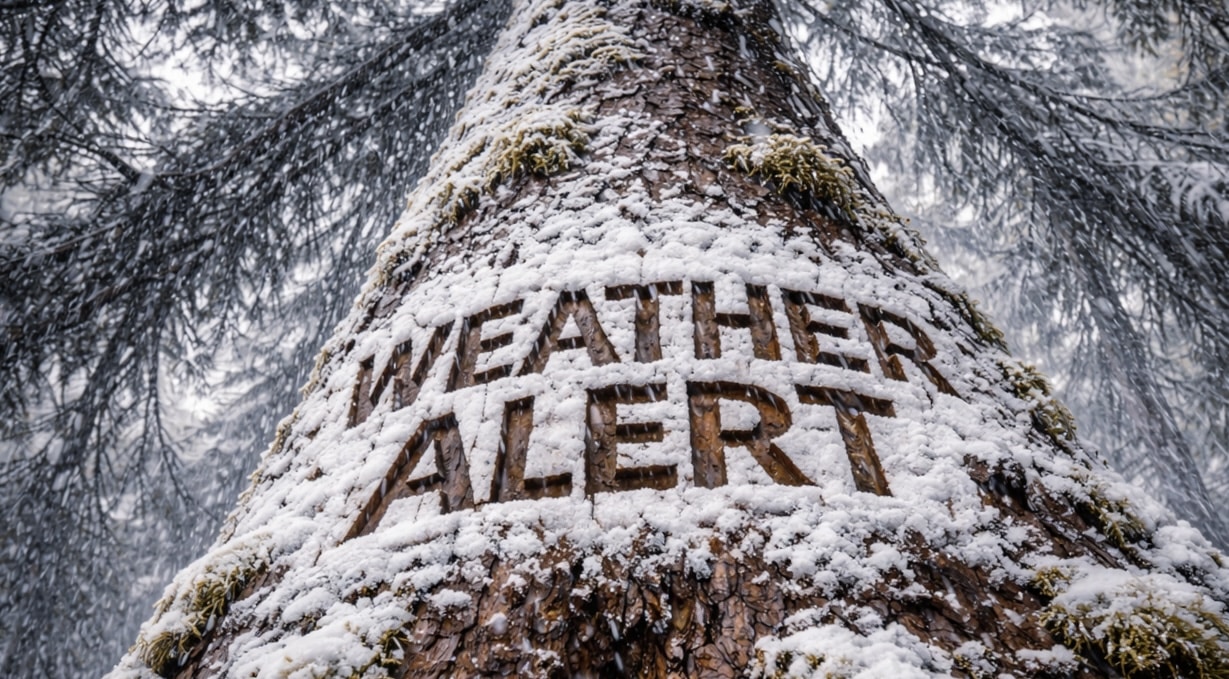
Reno, Nevada – Travel across the Sierra and Lake Tahoe region remains treacherous early Wednesday as heavy snow and 50 mph ridge gusts continue to hammer mountain passes ahead of the morning commute.
According to the National Weather Service in Reno, a Winter Storm Warning remains in effect until 7 a.m. PST Wednesday for the Greater Lake Tahoe Area, Mono County, and parts of Lassen, eastern Plumas, and eastern Sierra counties. Lingering snow showers will add up to 2 to 4 inches in many areas today, mainly along the Sierra crest. Winds are gusting between 35 and 45 mph, with up to 50 mph in wind-prone areas along U.S. Highway 395 and along Sierra ridgetops.

A Winter Weather Advisory takes effect at 4 a.m. Thursday and continues until 10 p.m. PST Thursday. During that period, snowfall totals could reach up to 6 inches along the Tahoe east shore, 6 to 10 inches on the west shore, and as much as 18 inches along the crest. Mono County could see 6 to 8 inches west of Highway 395 and up to a foot along the crest, while valley communities such as Susanville and Loyalton may pick up lighter totals.
Chain controls and delays are likely along Interstate 80, U.S. 50, and U.S. 395. Drivers should slow down, carry emergency supplies, and check 511 for the latest road conditions. Additional advisories could follow if snow showers redevelop late Thursday.

