
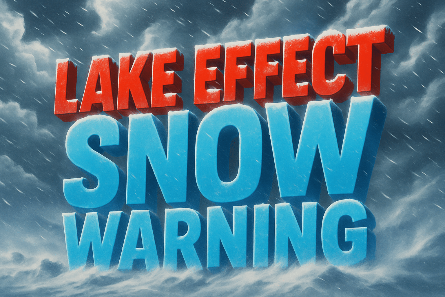
Rensselaer, IN – A Winter Weather Advisory remains in effect for Jasper and Newton Counties from midnight Sunday through 6 p.m. Monday, according to the National Weather Service (NWS) Chicago.
Forecasters are calling for lake effect snow producing 1 to 2 inches per hour, leading to localized totals of 2 to 6 inches across northwest Indiana. The most intense snowfall is expected near and north of the Kankakee River Valley, where travel could become dangerous at times.
According to the NWS, conditions will deteriorate overnight, with snow-covered and slippery roads likely by Monday morning. The hazardous weather may impact both the morning and evening commutes, particularly along U.S. 41, I-65, and surrounding rural routes.
Meteorologists note that lake effect snow is highly localized, meaning some towns could see heavy accumulation while nearby areas experience only light flurries. Residents in Rensselaer, DeMotte, Roselawn, Kentland, and Morocco should prepare for variable conditions and drive with caution.
Snow is expected to taper off Monday evening as winds shift and colder, drier air moves in.

