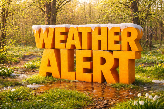
Louisville, KY – A spring-like shift in the weather pattern is expected to impact Kentucky during the February 11–17 period, bringing above-normal temperatures with potential statewide implications.
According to the NOAA Climate Prediction Center, the 8–14 day outlook strongly favors warmer-than-normal temperatures across the Ohio and Tennessee valleys, including all of Kentucky. This transition follows recent winter cold and signals a temporary break from mid-winter conditions.
In north-central Kentucky, including Louisville and surrounding communities, average mid-February high temperatures typically range from the low to mid-40s. Forecast guidance suggests daytime highs may frequently reach the upper 40s to low 50s during this period. Similar warming is expected across central Kentucky, including Lexington and Frankfort, while southern Kentucky may see even milder afternoon temperatures.
Across eastern Kentucky, particularly along the Appalachian Plateau and Cumberland Mountains, lingering snowpack at higher elevations may begin to thaw during warmer afternoons. As temperatures rise, runoff into creeks, streams, and rivers could increase, raising localized flooding concerns in prone areas.
Transportation corridors such as I-64, I-65, I-75, I-24, and U.S. Route 23 are especially sensitive to ponding and drainage issues during rapid warmups. The Climate Prediction Center’s precipitation outlook indicates near to above-normal precipitation potential during this period, meaning rainfall combined with snowmelt could contribute to river rises.
Rivers including the Ohio, Kentucky, Green, Licking, and Cumberland may see elevated flows if precipitation materializes. While widespread flooding is not currently anticipated, localized issues could develop where runoff is concentrated.
Warming temperatures may also weaken ice on ponds and smaller waterways, creating hazards for recreation. The National Weather Service advises residents to avoid frozen bodies of water as ice conditions deteriorate.
Commuters, students, and outdoor workers may notice more spring-like afternoons, but officials caution that winter hazards can persist overnight, especially in shaded or higher-elevation locations.
Residents across Kentucky are encouraged to monitor updated forecasts, river statements, and local advisories as confidence increases closer to the February 11–17 timeframe.


