
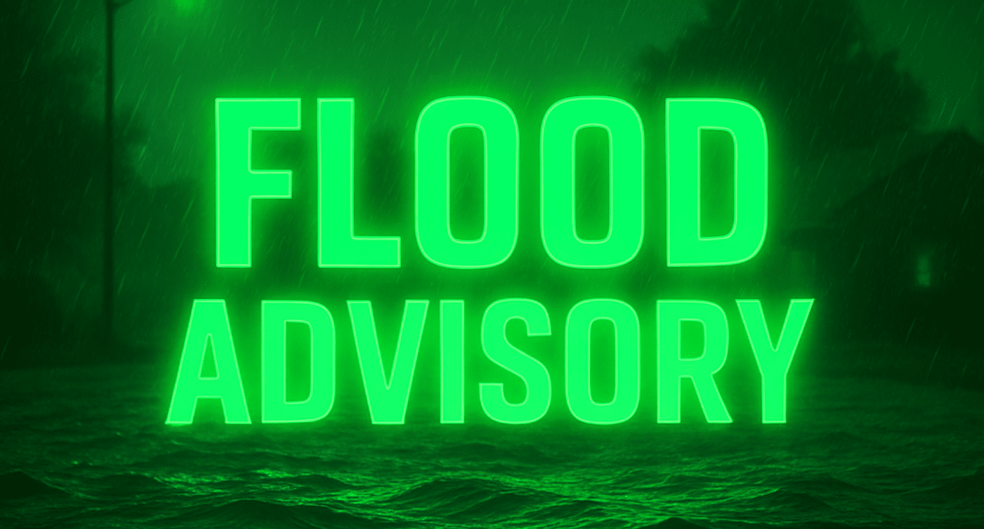
JACKSONVILLE, Fla. – Tidal flooding continues to impact Jacksonville and the northeast Florida coast as brisk onshore winds and elevated surf push tides above normal through Tuesday morning. Streets near the St. Johns River and low-lying coastal areas could see minor flooding around high tide as a Coastal Flood Advisory remains in effect until 8 a.m. Tuesday.
According to the National Weather Service in Jacksonville, winds from the east will stay near 20 mph with gusts up to 30 mph along the coast, helping to maintain higher water levels and rough surf. Rip current risks remain high, and residents are urged to avoid entering the Atlantic surf or tidal inlets until conditions improve.
Showers and isolated thunderstorms will be scattered across Duval, St. Johns, and Nassau counties Monday into Monday night, with some localized downpours possible. Drier, sunnier weather is expected by Tuesday night as winds begin to ease and flood waters gradually recede.
Drivers should remain cautious near flooded intersections and coastal roads, especially during high tide cycles. Officials urge residents to monitor local alerts and avoid parking vehicles in flood-prone zones.
Five-Day Forecast for Jacksonville, FL:
- Monday: Showers likely, breezy, high near 82°F.
- Tuesday: Mostly sunny, high 84°F.
- Wednesday: Sunny, high 85°F.
- Thursday: Chance of showers, breezy, high 82°F.
- Friday: Mostly sunny, high 87°F.

