
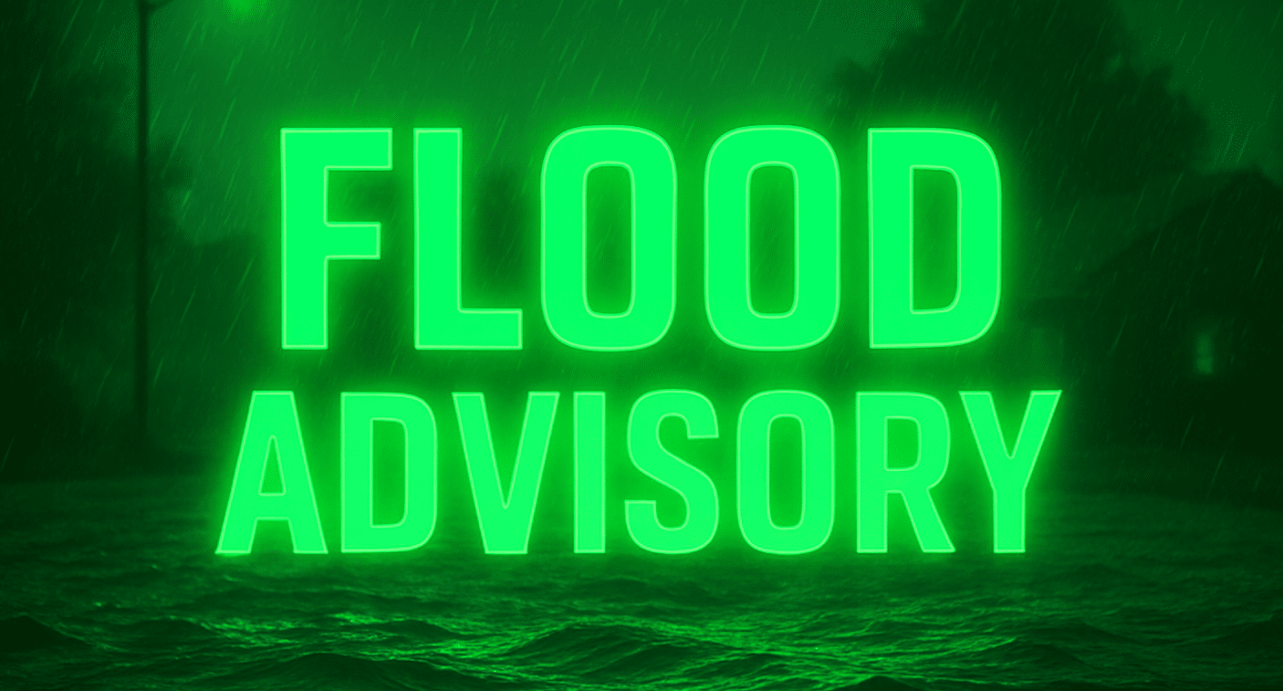
Davenport, Iowa – Drivers and residents across eastern Iowa and northwest Illinois should brace for flash flooding through Thursday morning, as several rounds of heavy rainfall threaten to push rivers and streams over their banks.
According to the National Weather Service in the Quad Cities, a Flood Watch is in effect from 7 a.m. Wednesday through late tonight—and until Thursday morning for some counties—covering key cities including Davenport, Dubuque, Iowa City, Muscatine, Rock Island, Sterling, and Burlington. Each round of storms could deliver 1 to 2 inches of rain, with local totals approaching 4 inches in flood-prone zones. Agencies are urging caution on roadways like Highway 22, Sand Road, and U.S. Highway 61, which are especially vulnerable as river levels quickly rise.
Communities along the Iowa River, Skunk River, Cedar River, and Wapsipinicon River are on high alert. Flood stage may be reached at multiple sites, including Lone Tree, Oakville, Wapello, and Augusta, threatening secondary roads, farm access, and even some residential driveways. In Augusta, water could block access roads, while in De Witt and Moscow, parks and neighborhoods near the rivers could see significant flooding.
Officials urge residents in low-lying and rural areas to stay off flooded roads, charge mobile devices, and monitor local alerts. Those living near rivers should prepare for potential evacuations or disruptions. School and business delays may be possible, especially in the Quad Cities and along the Mississippi River corridor.
With river crests not expected until Friday or later in some locations, the threat of flooding will linger. More advisories and warnings are likely as rain continues. Stay tuned for updates and never drive through flooded roadways—turn around, don’t drown.

