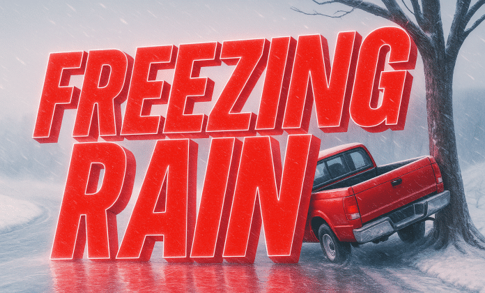
A developing midweek storm system is increasing concern for freezing rain across parts of the Ohio Valley, stretching from southern Indiana through Ohio and into western and central Pennsylvania on Wednesday. This region is expected to sit near a critical temperature boundary, raising the risk for ice accumulation rather than snow.
As the system moves east, milder air aloft will surge northward, while cold air remains trapped near the surface, especially across southern Indiana and central Ohio. This setup is favorable for freezing rain, where rain freezes on contact with roads, bridges, trees, and power lines.
On Wednesday, areas including Indianapolis, Bloomington, Columbus, Dayton, Cincinnati, and into western Pennsylvania near Pittsburgh may see rain transitioning to freezing rain, particularly during the afternoon and evening hours. Temperatures near the surface may hover at or just below freezing, increasing the risk for slick, icy conditions even with light precipitation.
The greatest concern is travel impact. Even a thin glaze of ice can lead to dangerous road conditions, especially on elevated surfaces. Bridges and overpasses may ice over quickly, and untreated roads could become hazardous within minutes. Power disruptions are also possible if ice accumulates on trees and lines, though confidence in outage-level icing remains uncertain at this time.
As the storm continues east Wednesday night, the freezing rain threat may extend farther into central Pennsylvania, before colder air eventually allows precipitation to change to snow or taper off.
Residents across southern Indiana, Ohio, and western Pennsylvania are urged to monitor forecasts closely, as small temperature changes could dramatically alter impacts, shifting areas from rain to freezing rain or snow with little warning.


