
Illinois greets the morning with soaked pavement, gusty winds, and water pooled where drains can’t keep up. Creek levels remain elevated, and some streets still hold standing water. While the heaviest rain has moved out, impacts are far from finished across the Chicago area.
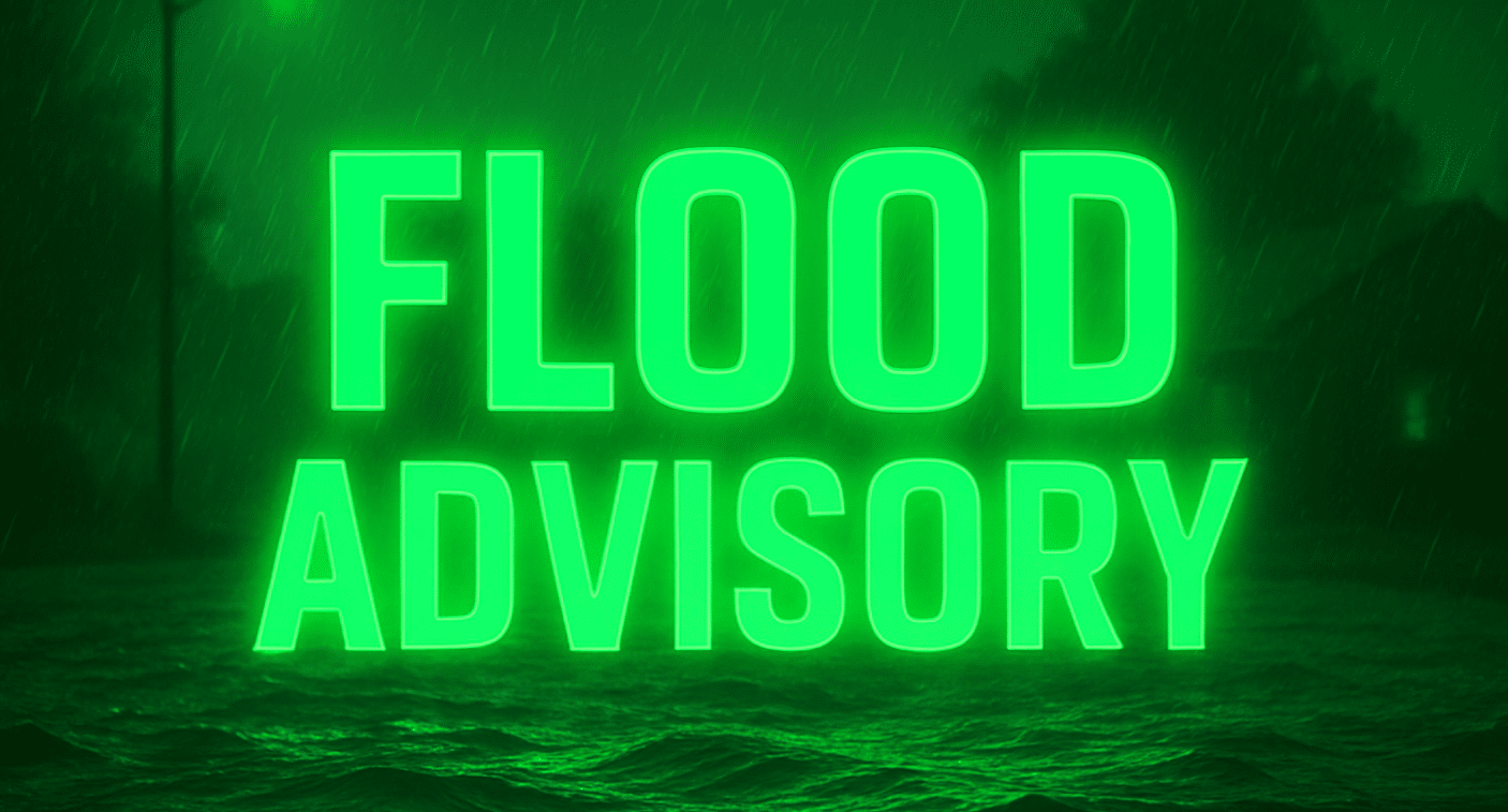
The National Weather Service has a Flood Advisory in effect for Chicago and much of northeast Illinois through mid-morning. Excessive rainfall overnight pushed creeks and streams near their banks. Low-lying roads, viaducts, and urban drainage areas remain vulnerable. Use caution driving early, especially near the Des Plaines and Chicago Rivers.

Winds stay active today. Gusts approach 40 mph at times, making travel tricky for high-profile vehicles on I-55, I-80, and Lake Shore Drive. Temperatures fall steadily through the day, sliding from near 50 into the lower 40s by late afternoon. Wet roads combined with falling temperatures may cause slick spots after sunset.
Conditions shift sharply heading into the weekend. Late tonight, scattered rain may briefly mix with snow as colder air arrives. Accumulation remains minimal, but visibility could drop during heavier bursts. By Saturday, temperatures hover in the upper 30s, and another round of rain and snow becomes possible, especially northwest of downtown.
Saturday night marks a bigger change. Colder air deepens, winds remain brisk, and snow showers may develop. While totals look light for the city, untreated roads could turn slushy or icy. Plan extra travel time if heading out after dark.
Sunday brings partial clearing but colder air. Highs struggle to reach the low 30s, and wind chills stay biting. Any leftover moisture may refreeze, increasing black ice risk.
Early January daylight continues to slowly increase, but winter hazards remain active. Seeing flooded roads or slick spots near you? Share conditions to help others stay safe.
Five-Day Outlook for Chicago, IL
Today: Flood advisory early, windy, temps falling into low 40s
Saturday: Rain/snow mix possible, high near 37
Sunday: Partly sunny, colder, high near 32
Monday: Mostly sunny, calmer, high near 40
Tuesday: Chance of rain later, high near 45

