
Illinois – A sharp turn toward bitterly cold weather this weekend is expected to bring repeated periods of subzero wind chills across much of Illinois, increasing the risk of frostbite and cold-related hazards.
According to the National Weather Service in Central Illinois, temperatures will drop significantly beginning Saturday, with wind chills falling below zero at times from Saturday through early next week. Forecast minimum wind chills across central portions of the state are expected to range from –5°F to –15°F, with locally colder values possible during overnight and early morning hours.

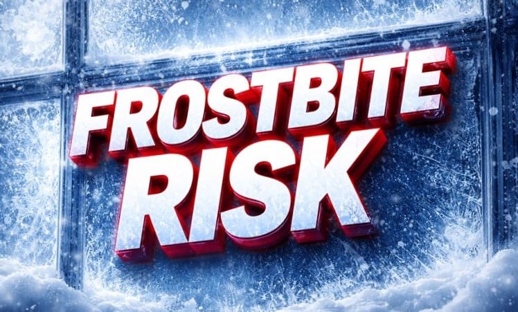
In these conditions, frostbite can develop on exposed skin within 10 to 30 minutes, especially when winds increase. Forecasters stress that wind chill values, not air temperature alone, determine how quickly skin can freeze.
The cold will be reinforced by persistent northwest winds, keeping daytime temperatures well below normal and limiting overnight recovery. While snowfall amounts are expected to be minimal, the combination of cold air and wind may still create slick spots on roads, particularly during overnight refreezing.
The coldest stretch is expected Sunday night through Tuesday morning, when wind chills may remain below zero for extended periods. Officials warn that prolonged exposure significantly increases health risks, even for those dressed for winter conditions.
Residents are urged to dress in layers, cover all exposed skin, and limit time outdoors whenever possible. Extra precautions are advised for children waiting for transportation, outdoor workers, and anyone traveling long distances.
The cold wave is also expected to impact pets, livestock, and vulnerable populations, and residents are encouraged to check on neighbors who may need assistance.
The National Weather Service recommends continuing to monitor updated forecasts and any cold weather advisories as conditions evolve across the state.

