
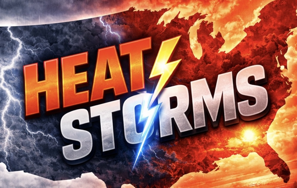
Chicago, Illinois – 80°F temperatures are building toward strong storms by Tuesday evening, threatening travel disruptions and rapidly changing conditions across northern Illinois after a brief warmup. The sharp swing from cool weekend weather to early-week warmth will set up an active pattern with potential impacts during peak travel hours.
According to the National Weather Service in Chicago, breezy and cooler conditions will persist Saturday with highs in the upper 40s to low 50s before a steady warmup begins Sunday and Monday. Temperatures will climb into the low 60s Sunday and surge into the 70s by Monday, with some areas nearing 80°F by Tuesday ahead of an approaching cold front.

The greatest impacts are expected along the I-90, I-94, and I-55 corridors, including Chicago, Rockford, Joliet, and Naperville, where increasing humidity and instability could bring showers and thunderstorms Tuesday afternoon into Tuesday night. Some storms may produce heavy rain, gusty winds, and reduced visibility during the evening commute.
Following the front, temperatures will drop sharply by Wednesday, especially near Lake Michigan, where highs may fall back into the 40s and low 50s. This cooldown could create another round of brisk conditions after the brief warm spell.
Residents should prepare for rapid weather changes, secure outdoor items ahead of gusty winds, and monitor updates as storm timing and intensity become clearer.

