
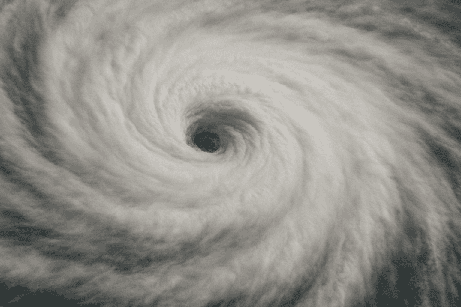
Honolulu, Hawaii – Hurricane Iona and Tropical Storm Keli are churning south and southeast of the Hawaiian Islands, posing increased risks of strong surf, gusty winds and dangerous rip currents for Hawaii through the weekend.
According to the National Hurricane Center, Iona is tracking well south of the state while Keli remains southeast of the islands. Residents and visitors should prepare for rapidly changing marine conditions, especially along southern shores. Large ocean swells may make beach and boating activities hazardous through Saturday.
Elsewhere in the Pacific, showers and thunderstorms about 1,400 miles east-southeast of Hawaii are likely to develop into a tropical depression as the system drifts west. The NHC gives it a 70% chance of formation within 48 hours. South of Mexico, another disturbance (EP99) is organizing about 500 miles offshore. It has an 80% chance of developing into a tropical system and could strengthen as it moves west-northwest at 15 mph, remaining offshore but raising surf risks for southwestern Mexico.
No tropical cyclone activity is expected in the Atlantic basin through next week.
Mariners, swimmers, and anyone along affected coasts should monitor official alerts, avoid hazardous surf zones, and keep emergency supplies on hand. Further advisories are likely as storms approach.

