
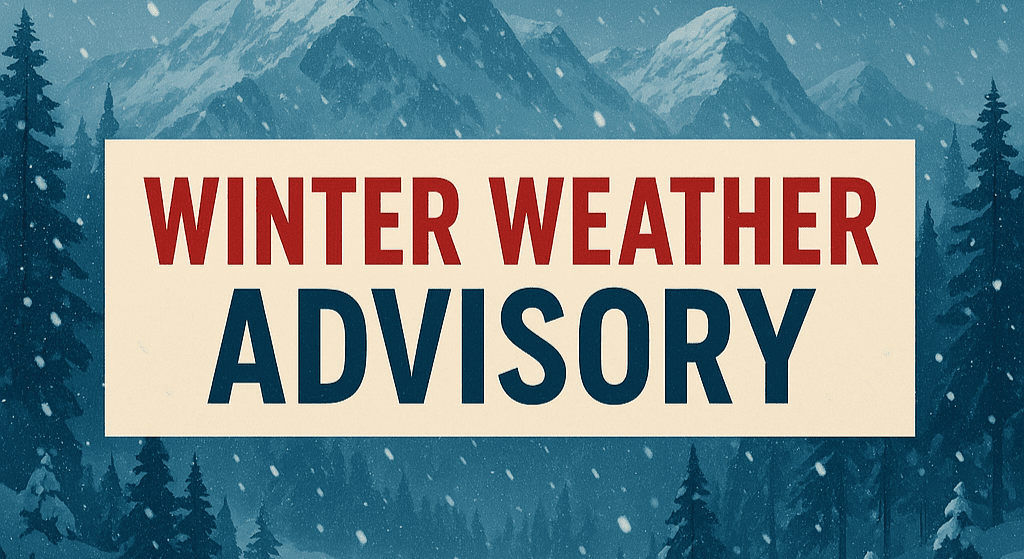
Hastings, Nebraska – A Winter Weather Advisory remains in effect across parts of south-central Nebraska and north-central Kansas until 6 p.m. CST Sunday, creating potential travel hazards from snow, sleet and freezing rain.
According to the National Weather Service in Hastings, the advisory covers Nuckolls, Thayer and Webster counties in Nebraska, along with Jewell, Mitchell, Osborne and Smith counties in Kansas.

Forecasters say a wintry mix of snow, sleet and freezing rain is expected throughout the day. Snow and sleet accumulations may reach up to 1 inch, with a light glaze of ice possible from freezing rain. Areas outside the advisory zone could still see a trace to a few tenths of an inch of mixed precipitation.
The primary concern is travel. Roads may become slick in spots as precipitation types vary across the region. Even light ice accumulations can create hazardous driving conditions, particularly on bridges, overpasses and untreated surfaces. East winds between 10 and 15 mph are expected, with occasional gusts reaching 20 to 25 mph.
The advisory is scheduled to expire at 6 p.m., though forecasters note a few areas of freezing drizzle could persist slightly beyond that time.
The advisory affects multiple rural highways and community roadways across the region, potentially impacting weekend travelers, delivery drivers and students returning from activities.
Motorists are urged to reduce speeds and allow extra stopping distance where wintry precipitation is falling.
This article was produced by a journalist and may include AI-assisted input.
All content is reviewed for accuracy and fairness.
Follow us on Instagram & Facebook and support local independent news.
Have a tip? Message us.

