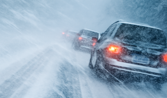
Green Bay, WI – Snow is expected to intensify across central and northeast Wisconsin today as a winter system spreads through the region, according to the National Weather Service (NWS) in Green Bay. Forecasters say the heaviest snowfall is likely to arrive late this afternoon into the evening, creating hazardous travel for many areas.
As of late Saturday morning, widespread snow continues to move east and northeast, coating roads and reducing visibility. Meteorologists also report an embedded lake-effect snow band developing over Lake Michigan, which is drifting toward Door County and the lakeshore. This band is expected to move inland early this afternoon, potentially causing a sudden drop in visibility and a brief surge in snowfall rates.
NWS warns that lowered visibility will be one of the main impacts today, especially once the stronger snow band reaches shore. Drivers should expect fast-changing conditions, including whiteout-like bursts as heavy snow arrives.
Roads across the region will become snow covered and slippery, particularly during the afternoon and evening travel window. Officials urge motorists to slow down, increase following distance, and keep headlights on so other drivers can see them more easily in the worsening conditions.
Forecasters will continue to monitor radar trends as the lake-effect feature pushes inland. While snowfall totals will vary depending on the band’s exact path, the combination of steady system snow and localized enhancements could make travel difficult across portions of northeast Wisconsin through tonight.


