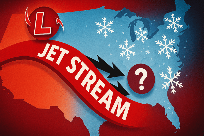
Tallahassee, Florida – A push of Arctic air is expected to reach Florida between Jan. 18 and Jan. 22, bringing a noticeable shift toward cooler-than-normal temperatures as a clipper system helps drive a broader pattern change across the eastern United States.
According to the Climate Prediction Center’s 6–10 day temperature outlook, much of Florida is expected to experience below-normal temperatures during this period, with the strongest departures likely across north and central Florida. The cooler pattern follows the breakdown of a recent mild stretch, as strong ridging across the western U.S. and Alaska allows colder air to spill southward into the Southeast.
Daytime high temperatures are forecast to run several degrees below mid-January averages, particularly across inland areas. Overnight lows are expected to drop more noticeably, raising the potential for chilly mornings across north Florida, where temperatures could dip into the 30s in colder spots. Farther south, including the Florida Peninsula, cooler conditions are still expected, though readings will remain milder compared to northern areas.
Despite the cooler air, precipitation chances are expected to remain near normal for this time of year. Forecast guidance does not show a strong signal for widespread rain during the Jan. 18–22 window, as the incoming air mass is expected to be relatively dry. Any rainfall that does occur would likely be light and brief.
For Florida residents, the primary impacts during this period will be cooler daytime temperatures, colder overnight lows, and increased heating demand, particularly across northern counties. Commuters, students, and outdoor workers may notice sharper morning chills compared to recent weeks. Residents are encouraged to monitor forecast updates as temperature details become clearer closer to the event.


