
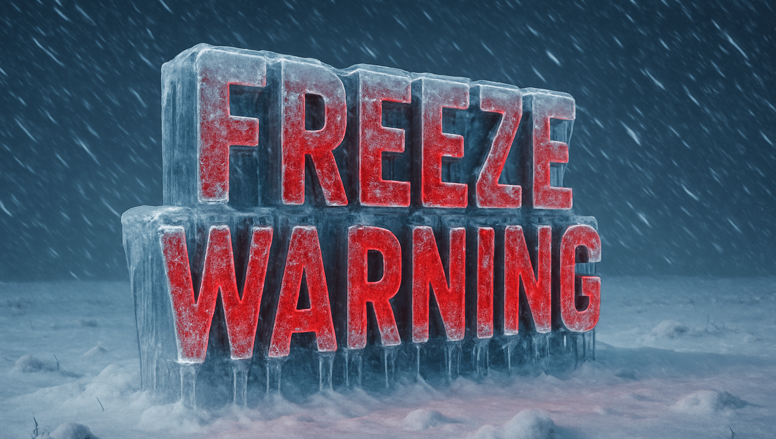
Central Florida – Freezing temperatures and widespread frost are expected across much of east central Florida late tonight through Tuesday morning, prompting Freeze Warnings and Frost Advisories for multiple counties.
According to the U.S. National Weather Service in Melbourne, overnight low temperatures are forecast to fall into the upper 20s to lower 30s, with a Freeze Warning in effect from 11 p.m. tonight through 9 a.m. Tuesday. Areas under a Frost Advisory can expect lows in the mid to upper 30s, with widespread frost formation likely by early morning.

Counties included in the Freeze Warning and Cold Weather Advisory areas include Volusia, Lake, Seminole, Orange, Osceola, Brevard, Indian River, St. Lucie, Okeechobee, Martin, and inland portions of surrounding counties.
Forecasters warn that freezing temperatures can damage sensitive vegetation, burst exposed pipes, and pose a risk to people and animals without adequate protection. The National Weather Service urges residents to remember the “4 P’s”: People, Pets, Plants, and Pipes.
Travelers along major corridors such as Interstate 95, Interstate 4, U.S. Highway 1, and Florida’s Turnpike may encounter frost-covered windshields and cold-start vehicle issues during the early morning commute. While icy roads are not expected, visibility may be briefly reduced where frost is dense.
Wind chills in some advisory areas may dip into the upper 20s, increasing the risk for those spending extended time outdoors. Officials recommend limiting early-morning outdoor exposure, dressing in warm layers, and bringing pets indoors.
Temperatures are expected to gradually rise after sunrise Tuesday, ending frost and freeze concerns by mid-morning. Additional cold nights remain possible later this week, and residents are advised to continue monitoring forecasts.

