
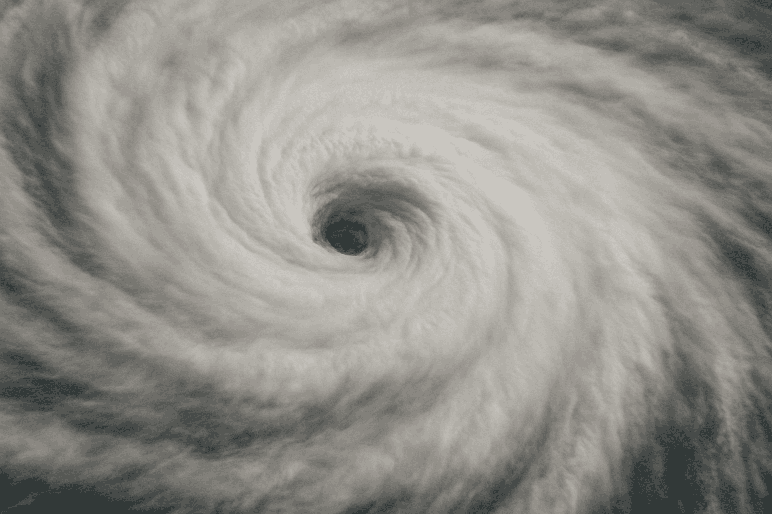
Orlando, Fla. – Hurricane Erin has intensified into a Category 4 storm with sustained winds of 130 mph, and while the system is expected to stay east of Florida, coastal communities will still feel its reach with dangerous surf and life-threatening rip currents starting Monday.
According to the National Hurricane Center, Erin’s maximum sustained winds climbed to 130 mph overnight, with gusts higher than 130, placing the storm firmly in the Category 4 range. The center of the storm is moving west-northwest at about 20 mph, well offshore, but its large wind field will drive swells toward Florida’s Atlantic coast beginning early next week.
The National Weather Service in Melbourne warns that all area beaches will see a high risk of rip currents before the surf fully builds, peaking Tuesday into Thursday with 7- to 8-foot waves north of Cape Canaveral. Offshore seas could climb as high as 9 to 12 feet, creating hazardous boating conditions and the potential for minor beach and dune erosion.
Officials urge swimmers to stay out of the surf, boaters to avoid unnecessary trips, and residents to monitor further updates in case Erin’s track shifts closer. Watches and advisories may be expanded if conditions worsen.

