
California – Low clouds hang over Humboldt Bay this morning as patchy fog drifts across Eureka. Headlights cut through the haze, and damp air clings to coastal roads. Conditions feel quiet, but visibility changes quickly before mid-morning.
Fog remains the main issue early today, especially along U.S. 101 and neighborhood streets near the coast. Skies stay mostly cloudy, with afternoon temperatures reaching the mid-50s. Winds pick up late in the morning, with gusts near 20 mph adding a cool edge to the air.

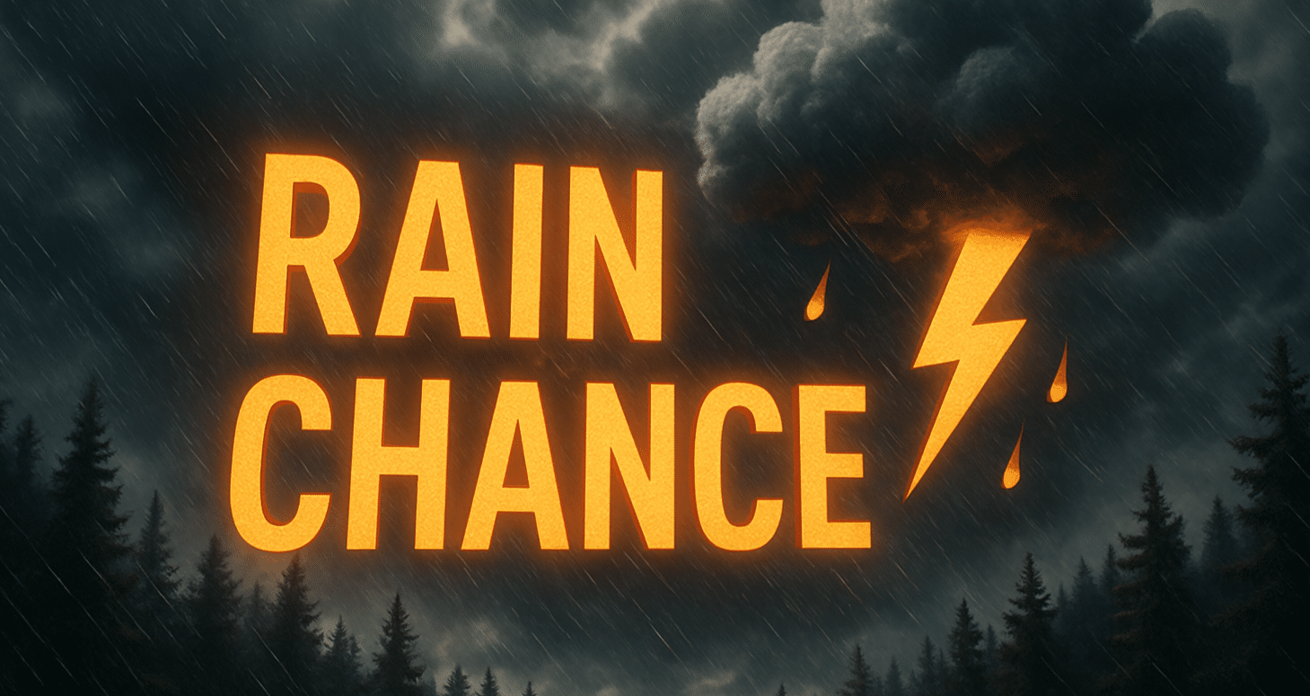
According to National Weather Service data, rain chances return Tuesday afternoon and increase Tuesday night. Showers may develop after dark, creating slick roads and reduced visibility during late travel hours. Rainfall amounts remain light, but repeated showers can keep pavement wet.
Wednesday continues unsettled. Spotty rain remains possible through the day, with clouds breaking at times. Highs stay near 55 degrees, keeping conditions cool but manageable for daily routines. Drivers should stay alert for sudden drizzle and fog redeveloping near the shoreline.
By Thursday, rain chances ease slightly, though a few morning showers remain possible. Fog may redevelop again late Thursday night as temperatures dip toward the upper 30s. Friday trends similar, with lingering light rain possible after midnight and clouds dominating the day.
Looking ahead into early next week, signals suggest a gradual warming trend with fewer rain chances. While winter patterns still linger along the North Coast, signs point toward calmer conditions beyond midweek.
Travelers should slow down in fog-prone areas and allow extra time during wet periods. Use low beams in fog and watch for slick stretches on coastal highways.
Five-Day Weather Outlook for Eureka, California
- Today: Patchy fog early, mostly cloudy, high near 55°F
- Tuesday: Mostly cloudy, chance of rain late, high near 56°F
- Wednesday: Chance of rain, high near 55°F
- Thursday: Slight chance of rain, high near 54°F
- Friday: Chance of rain, high near 55°F

