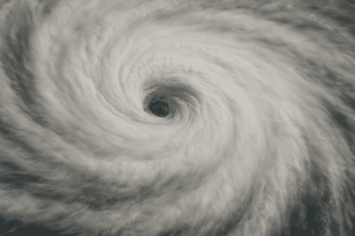
Washington, D.C. – Dangerous surf and rip currents are battering the East Coast Thursday as Hurricane Erin continues to push northeast, bringing tropical storm-force winds and coastal flooding to parts of the Mid-Atlantic.
According to the National Weather Service Middle Atlantic River Forecast Center, the impacts from Hurricane Erin, which had maximum sustained winds of 105 mph as of 8 a.m. EDT, will persist until the storm moves farther out to sea over the weekend.
Forecasters said storm surge levels are peaking between 1 and 4 feet in low-lying coastal areas from Cape Fear, North Carolina, to Montauk Point, New York. Areas near the Pamlico and Pungo Rivers and Cape Lookout could see the most significant surges. Surf conditions are expected to remain hazardous through Saturday, with high waves and rip currents posing risks to swimmers and boaters.
Inland, conditions should remain mostly calm across the Mid-Atlantic. The forecast shows Hurricane Erin veering away from the coast and gradually weakening as it continues its northeast trajectory. By Sunday, the system is expected to be farther into the Atlantic, allowing for improved weather conditions before the next possible round of storms.
Authorities are urging residents and visitors along the coast to avoid entering the ocean and to monitor local advisories due to the continuing threat of high water and rough surf.
This advisory remains in effect through Saturday evening, with updated forecasts expected as Erin’s path and intensity evolve.
This article was produced by a journalist and may include AI-assisted input. All content is reviewed for accuracy and fairness.
Follow us on Instagram & Facebook for more relevant new stories and SUPPORT LOCAL INDEPENDENT NEWS! Have a tip? Message us!


