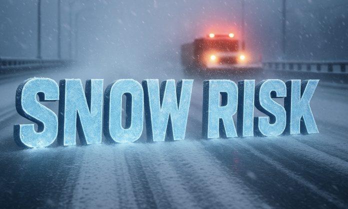
DENVER, Colorado – Colorado’s mild early November streak is on borrowed time as a sharp cold front dives south between November 9 and 15, ushering in Arctic air and the growing risk of significant mountain and Front Range snow. Forecasters warn that the state could see a major shift from dry fall air to a stormier early winter setup before Thanksgiving.
According to the NOAA Climate Prediction Center, Colorado will run below normal in temperature and above normal in precipitation through mid-November — a combination that often signals widespread snow potential west of the Continental Divide and periods of accumulating snow along the Front Range, especially from Fort Collins to Colorado Springs.
The National Weather Service offices in Boulder and Pueblo report that a strong cold front early next week will bring a quick temperature plunge and the first round of snow showers across the northern and central mountains. Heavier snow could follow midweek if a secondary low forms over eastern Colorado, potentially impacting I-25, I-70, and U.S. 285 with slick roads and reduced visibility. Highs will fall into the 30s and 40s, with overnight lows in the teens and 20s.
Residents are urged to winterize now — cover outdoor faucets, test heating systems, and prepare vehicles for cold starts. Mountain communities should be ready for possible travel restrictions and chain requirements if snow intensity increases.
Forecasters say this early-season cold surge could mark Colorado’s first widespread winter event of the season — and a clear signal that the state’s transition to colder, snowier days has begun in earnest ahead of Thanksgiving travel season.


