
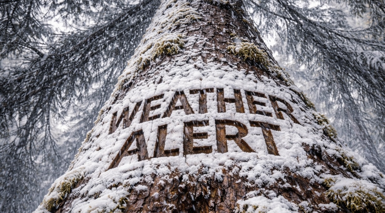
Pueblo, Colorado – Snowfall is expected to increase across parts of southern Colorado Friday, creating hazardous travel in higher elevations and possible slick roads in lower areas.
According to the National Weather Service in Pueblo, snow will expand across south-central Colorado and into the eastern mountains during the day Friday, before gradually decreasing from north to south later tonight.

The storm system is expected to affect mountain areas, the eastern slopes of the Rockies, and portions of the Interstate 25 corridor throughout the day.
Forecasters say travel conditions will become increasingly hazardous in the mountains, where heavier snowfall bands may develop.
Cities and communities including Colorado Springs, Pueblo, Canon City, Walsenburg, and Trinidad could see periods of snow as the system moves through the region.
Drivers traveling along major routes such as Interstate 25, U.S. Highway 50, and U.S. Highway 160 may encounter snow-covered roads, reduced visibility, and slower travel, particularly near higher terrain.
Snowfall totals are expected to vary across the region, with higher elevations seeing the greatest accumulation, while lower elevations may see lighter amounts or mixed precipitation.
Forecasters also warn that slick roads may develop across some lower elevation communities, especially later Friday and overnight as temperatures fall.
Conditions are expected to gradually improve by early Saturday morning as snowfall tapers off and drier weather returns.
Transportation officials encourage travelers heading through mountain passes and higher terrain to check road conditions and allow extra travel time.
Commuters, truck drivers, and travelers along the I-25 corridor through southern Colorado may experience delays as snowfall continues through the evening.

