
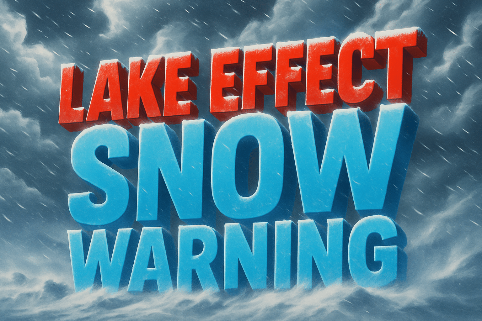
Cleveland, Ohio – Lake-effect snow continues to sweep across Northeast Ohio, with bursts of heavier accumulation expected to impact the morning and overnight commute in the region’s snowbelt.
According to the National Weather Service in Cleveland, winter weather advisories remain in place for much of northern Ohio through Tuesday afternoon, while a winter storm warning continues for parts of the primary snowbelt until 5 a.m. Wednesday. Additional snowfall totals of 1 to 4 inches are likely, with the highest amounts focused east of Cleveland in higher elevations.

Roads along Interstate 90, Interstate 271, and stretches of U.S. Route 20 could become slick, especially during heavier snow bands. Communities in Lake, Geauga, and Ashtabula counties face the greatest risk for reduced visibility and quick accumulations. ODOT crews are actively treating roadways, but drivers should expect changing conditions and allow extra travel time.
Temperatures hovering near freezing will support icy patches, particularly on untreated surfaces. Residents are urged to limit non-essential travel, keep devices charged, and monitor local alerts for updates.
Snow showers taper off early Wednesday, but additional advisories could be issued if bands linger or redevelop.
Five Day Outlook for Cleveland, Ohio
Tuesday: Lake-effect snow showers, highs near 34°F
Wednesday: Morning snow ends, gradual clearing, high near 38°F
Thursday: Partly cloudy, calmer conditions, high near 42°F
Friday: Increasing clouds, slight chance of rain, high near 45°F
Saturday: Mixed precipitation possible, cooler, high near 40°F

