
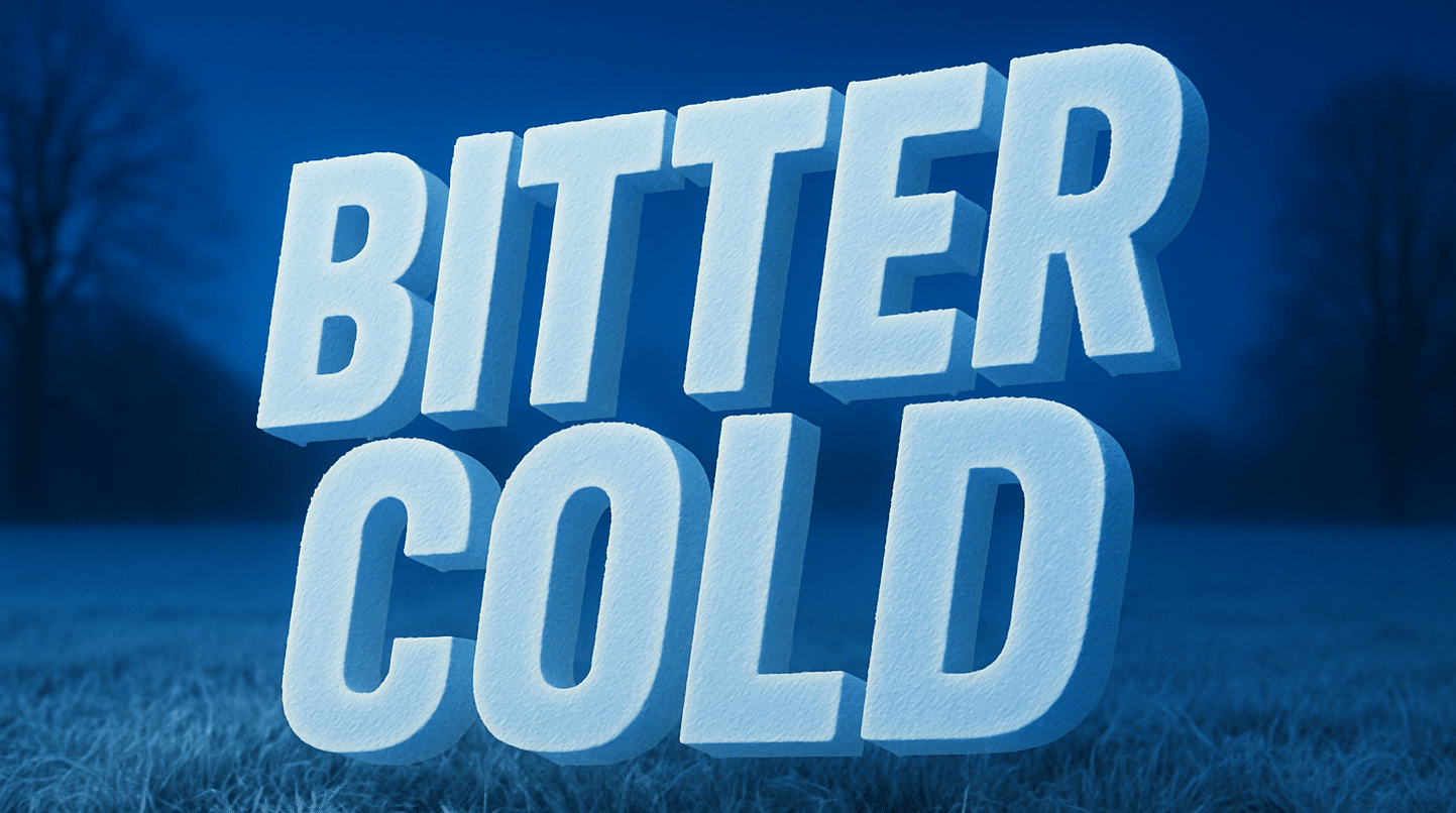
Illinois – The air bites like glass this morning across Chicagoland, the skyline lit against a steel-gray dawn. Wind chills sit near zero, and forecasters warn of a winter pattern setting up that could make travel slick by late weekend. Snow showers return Saturday night into Sunday, potentially dropping up to two inches across the metro area.
According to the National Weather Service Chicago/Romeoville office, patchy freezing fog and subzero wind chills continue early today, especially along and west of I-55. Temperatures will rise only into the upper 20s before another Arctic wave moves in. The first flakes may begin after dark Saturday, with steadier snow expected Sunday morning through early afternoon, likely mixing with lake enhancement near the shore.

Drivers on I-90, I-94, and I-355 should prepare for reduced visibility and slick bridges through Sunday afternoon. Snowfall will taper overnight, but untreated surfaces could refreeze quickly as lows fall back into the teens. Crews across Cook, DuPage, and Will counties will be monitoring for icy patches through Monday’s commute.
The week ahead stays wintry: highs hover in the mid-20s to low-30s, with more light snow possible Tuesday and Wednesday. Looking beyond, long-range models suggest a stronger clipper system Dec. 11–17, which could deliver another round of Midwest snow as holiday travel surges.
Bundle up, keep your defrosters working, and plan for slower travel this weekend.
Heading out on I-90 Sunday? Tell us what road conditions you’re seeing.
Five-Day Outlook for Chicago, IL:
Fri: 28/27 – Partly sunny; bitter wind chills early.
Sat: 28/22 – Mostly cloudy; snow late night.
Sun: 30/15 – Snow likely; 1–2″ possible.
Mon: 24/18 – Partly sunny; lingering slick spots.
Tue: 30/20 – Mostly cloudy; light snow chance.

