
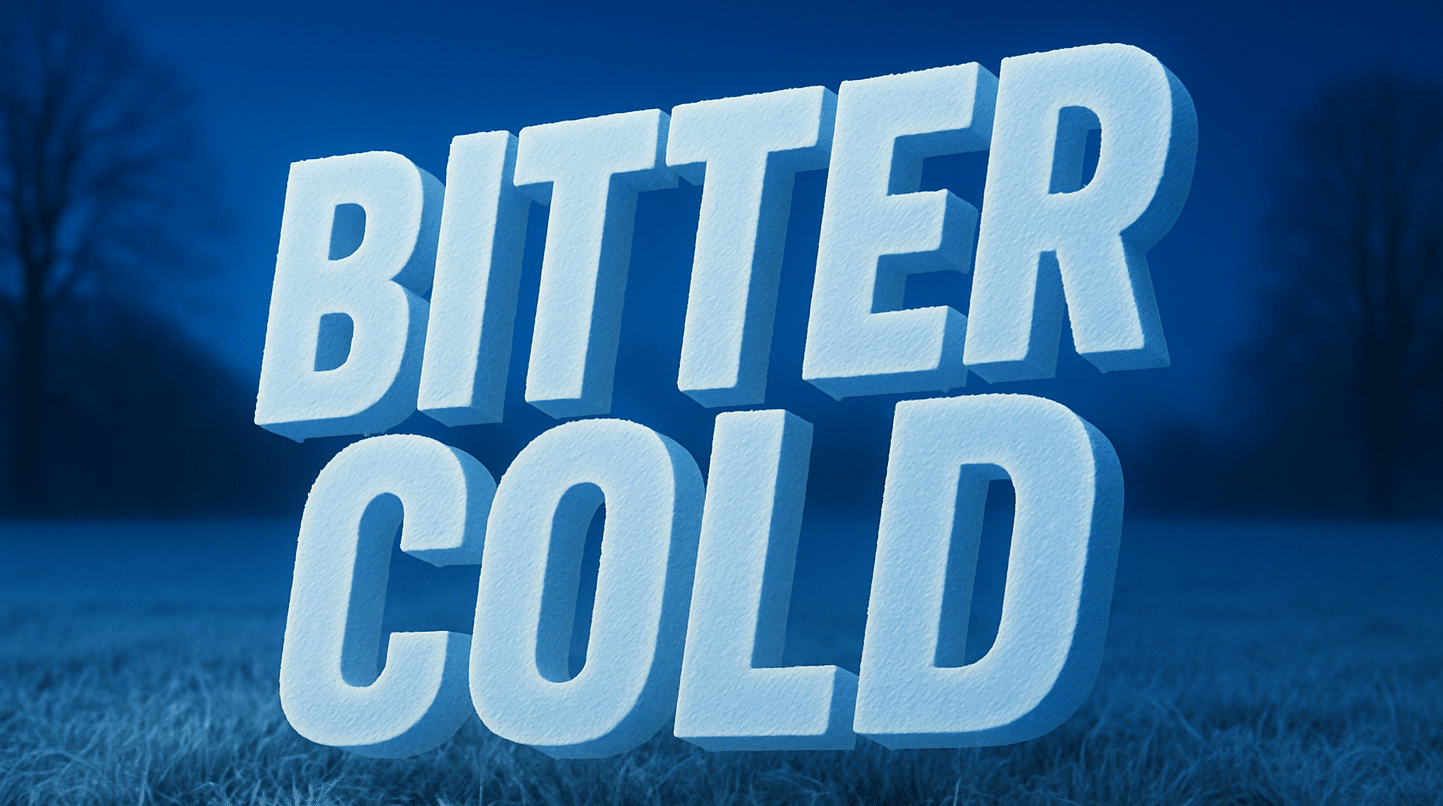
Charleston, WV – West Virginia wakes under a sharp winter bite today as light, powdery snow tapers off and a deep push of arctic air tightens its hold across the region. Pavement feels crisp underfoot, and a thin sheen of refrozen moisture may linger on bridges and secondary roads even as skies gradually brighten.
According to the National Weather Service, the Winter Storm Warning expires at 1 p.m., but cold northwesterly flow will keep temperatures locked in the 20s through the day. Drivers should watch for slick patches, especially along I-64 and rural Kanawha County routes where shaded areas may hold ice longer.
A fresh arctic high slides across the Ohio Valley, reinforcing the freeze through Monday. The coldest air settles late tonight into early Monday with lows in the teens for many communities from Hurricane to Spencer. Gusts around 20 mph may make it feel even sharper. Schools heading into their final week before the holiday break should plan for bundled-up mornings and slower bus routes.
Meteorologists say temperatures finally begin to moderate Tuesday as winds shift and sun returns. Highs climb into the low 40s in Charleston, offering a brief thaw before the next pattern takes shape. Early signs suggest another winter tease later in the week as colder air attempts to return, raising questions about a possible rain-to-snow changeover for weekend travelers.
Five-Day Outlook (Sun–Thu)
• Today: Light snow ending; highs near 20; breezy and cold.
• Monday: Mostly sunny; high 30; calmer winds.
• Monday Night: Low near 19; partly cloudy.
• Tuesday: Mostly sunny; high 42; slow warming.
• Wednesday: Partly sunny; high 47; milder afternoon.
• Thursday: Rain likely; highs near 58; chance of heavy rain.

