
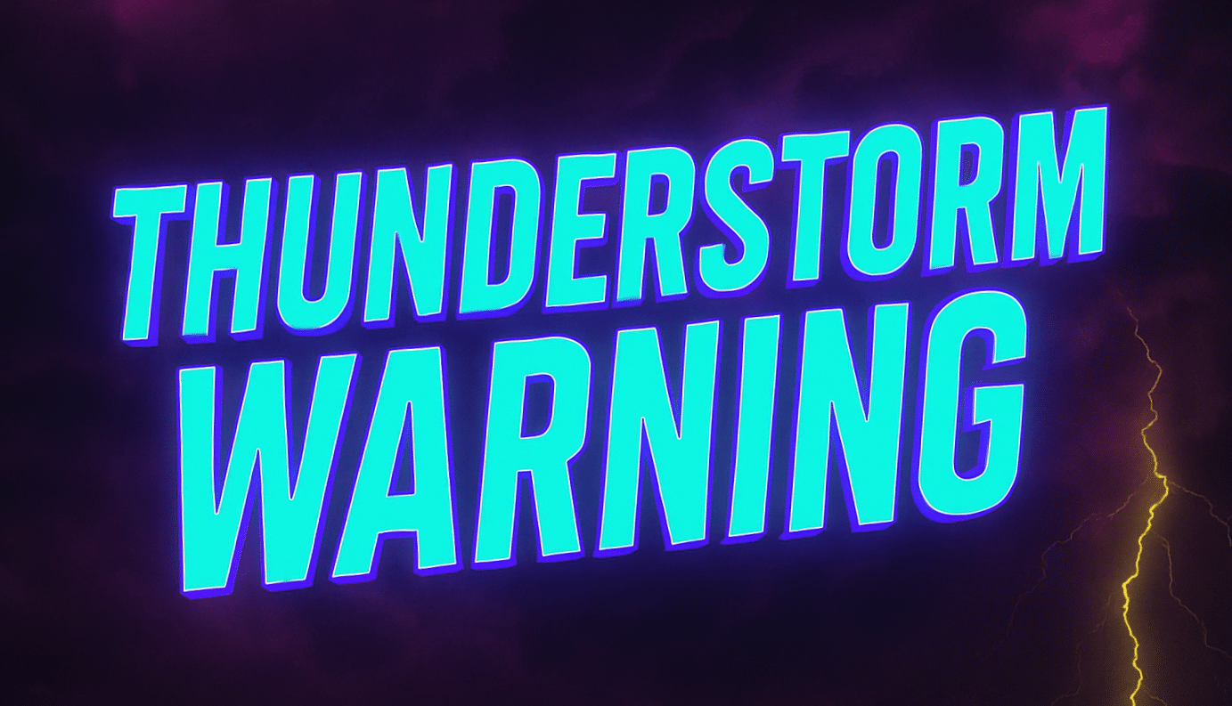
Charleston, WV – A mild and dry Saturday across West Virginia will give way to a risk of strong to severe thunderstorms late Sunday afternoon into the evening, potentially impacting travel and outdoor plans.
According to the US National Weather Service in Charleston, quiet conditions will hold through Saturday and much of Sunday, with temperatures warming into the 60s and low 70s. The change begins late Sunday, when a cold front drops south into the region.

Storms are expected to develop first across northern West Virginia Sunday afternoon, then track south into central and southern areas — including Charleston, Beckley, and Huntington — through the evening hours.
Forecasters say some storms could become severe. The main threats include large hail and damaging wind gusts, though an isolated tornado cannot be ruled out. Periods of heavy rain may also lead to localized roadway flooding, especially in low-lying or poor drainage areas.
Drivers should be prepared for reduced visibility and slick roads Sunday evening, particularly during heavier downpours.
By Monday, noticeably cooler air moves in, with highs dropping into the 40s and 50s across much of the state.
Residents are encouraged to stay weather-aware and monitor updates if they have travel or outdoor plans Sunday evening.
Will these storms affect your Sunday plans or commute?
This article was produced by a journalist and may include AI-assisted input. All content is reviewed for accuracy and fairness.
Follow us on Instagram & Facebook for more relevant news stories and SUPPORT LOCAL INDEPENDENT NEWS! Have a tip? Message us!

