

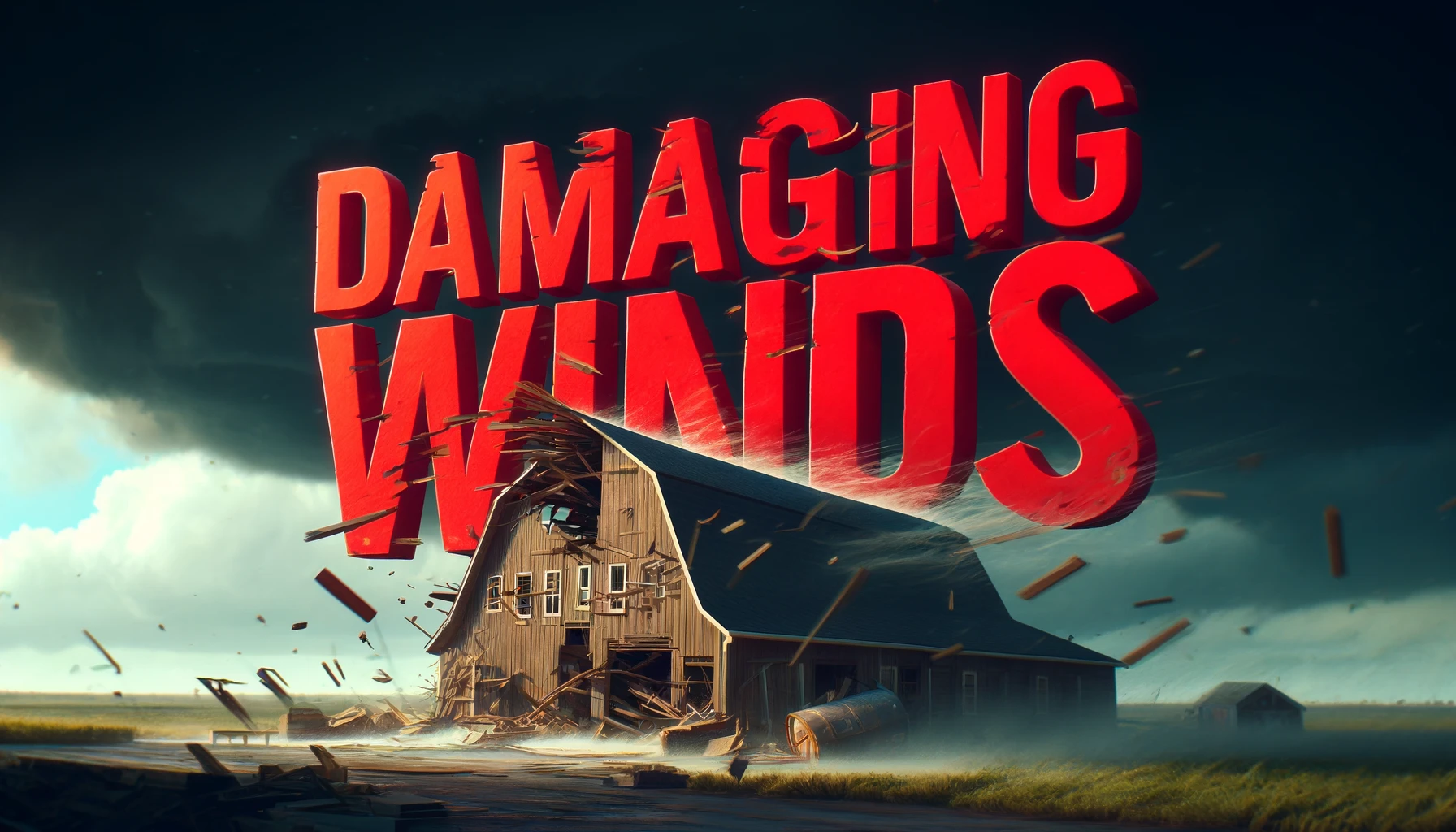
Charleston, West Virginia – Strong thunderstorms are expected to develop across West Virginia this afternoon and continue through tonight, bringing the threat of damaging wind gusts, frequent lightning and localized flash flooding. The greatest risk for severe weather will occur as a cold front pushes through the region later today, with storms capable of quickly disrupting travel and outdoor activities.
According to the National Weather Service in Charleston, showers and thunderstorms will become more widespread through the afternoon and evening. A Slight Risk (Level 2 of 5) for severe thunderstorms covers southeast Ohio, northern West Virginia and parts of central West Virginia, where scattered storms may produce damaging wind gusts. The remainder of the state is under a Marginal Risk (Level 1 of 5) for isolated severe storms.

Heavy rainfall is also expected across much of West Virginia, with the Weather Prediction Center placing the area under a Marginal Risk for excessive rainfall. Localized flash flooding is possible, especially in low-lying areas, poor drainage locations and places that receive multiple rounds of thunderstorms.
Communities including Charleston, Huntington, Parkersburg, Clarksburg, Elkins, Beckley and Morgantown could see periods of heavy rain, gusty winds and dangerous cloud-to-ground lightning through the evening. Drivers should be prepared for rapidly changing conditions, reduced visibility and water-covered roads during heavier downpours.
Residents should secure loose outdoor items, postpone outdoor activities when thunderstorms approach and move indoors immediately if thunder is heard. Never drive through flooded roadways, as water can hide washouts and other hazards.
Storms are expected to gradually weaken later tonight as the cold front moves through, but additional severe thunderstorm or flood alerts may be issued if storms intensify during the afternoon or evening.


