
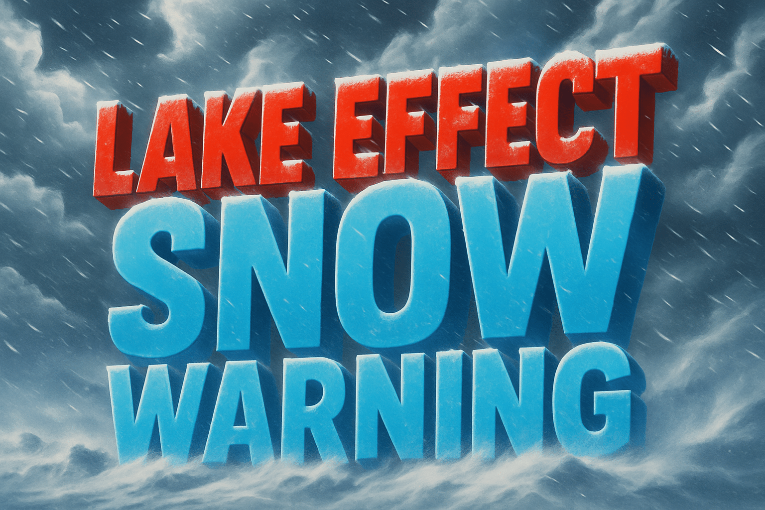
Binghamton, NY – Lake-effect snow is expected to intensify across Central New York this afternoon, bringing hazardous travel conditions from Syracuse and Ithaca to Cortland and Oneida through Monday evening. Strong winds and narrow snow bands may create sudden whiteouts along major roadways.
According to the National Weather Service in Binghamton, a Winter Weather Advisory is in effect from 1 p.m. Sunday to 7 p.m. Monday for Cortland, Madison, Onondaga, Southern Cayuga, and Tompkins counties. The advisory includes cities such as Syracuse, Ithaca, Auburn, Oneida, Hamilton, and Cortland.
Forecasters expect 3 to 7 inches of snow, mainly across higher elevations, with the lower valley regions seeing lighter—but still impactful—amounts. Winds will gust up to 45 mph, creating areas of blowing snow and variable visibility.
According to the NWS, precipitation will begin as mixed rain and wet snow in the early afternoon before transitioning into narrow, fast-moving lake-effect bands. These bands will intensify toward evening, continuing through Monday.
Roads—including bridges and overpasses—are expected to become slippery, with the worst travel conditions likely overnight and into the Monday morning commute. Strong winds combined with falling snow may cause rapid visibility drops on hilltops and exposed stretches of roadway.
The NWS notes that lake-effect snow can vary sharply over short distances. Some areas could see heavy bursts of accumulation while neighboring communities remain mostly dry.

