
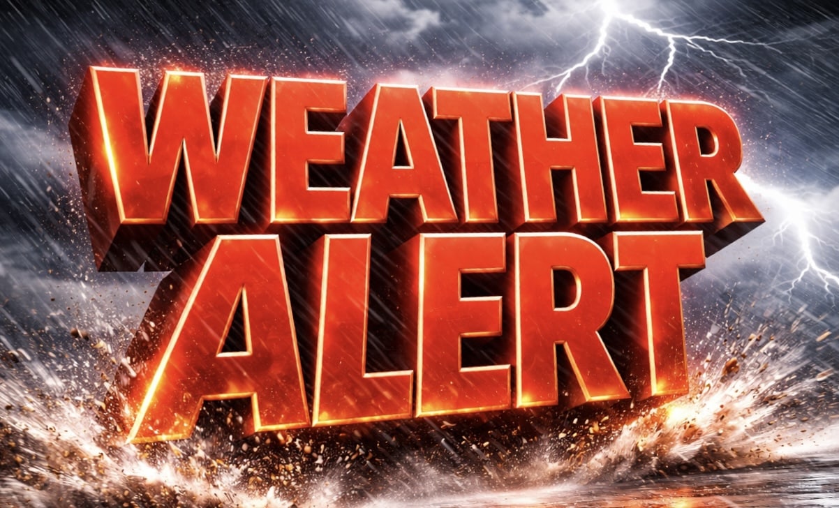
Springfield, Illinois – Lightning and heavy downpours could disrupt travel across central Illinois within hours, as multiple rounds of thunderstorms push through the region before sunrise Saturday.
According to the National Weather Service in Lincoln, storms will develop this afternoon and intensify into the evening, with the strongest cells capable of producing damaging wind gusts and frequent lightning through the overnight hours. Activity is expected to linger until at least 7 a.m. Saturday, especially along and east of the I-55 corridor, including Springfield, Bloomington, and Decatur.

Road conditions may quickly deteriorate during heavier bursts of rain, with reduced visibility dropping below a mile at times. Drivers along I-72 and I-74 should prepare for sudden ponding on roadways and possible delays during the evening commute. Isolated power outages are also possible if stronger wind gusts develop.
Temperatures will swing sharply after the storms exit. Highs in the upper 70s today will fall into the 60s Saturday, then continue cooling into the low 50s by Sunday. By Monday night, lows are expected to drop between 27 and 33 degrees, creating a risk of frost damage to early-season vegetation.
Residents should secure outdoor items ahead of storms, charge devices, and avoid unnecessary travel during peak storm periods. Additional advisories may be issued as conditions evolve into Saturday morning.
Five Day Forecast for Springfield, Illinois
Friday: Chance of thunderstorms, possibly severe, high 72 to 80
Saturday: Showers and storms early, then clearing, high 54 to 69
Sunday: Partly cloudy and breezy, high 51 to 55
Monday: Partly cloudy, high 52 to 60
Tuesday: Partly cloudy, high 50 to 54

