
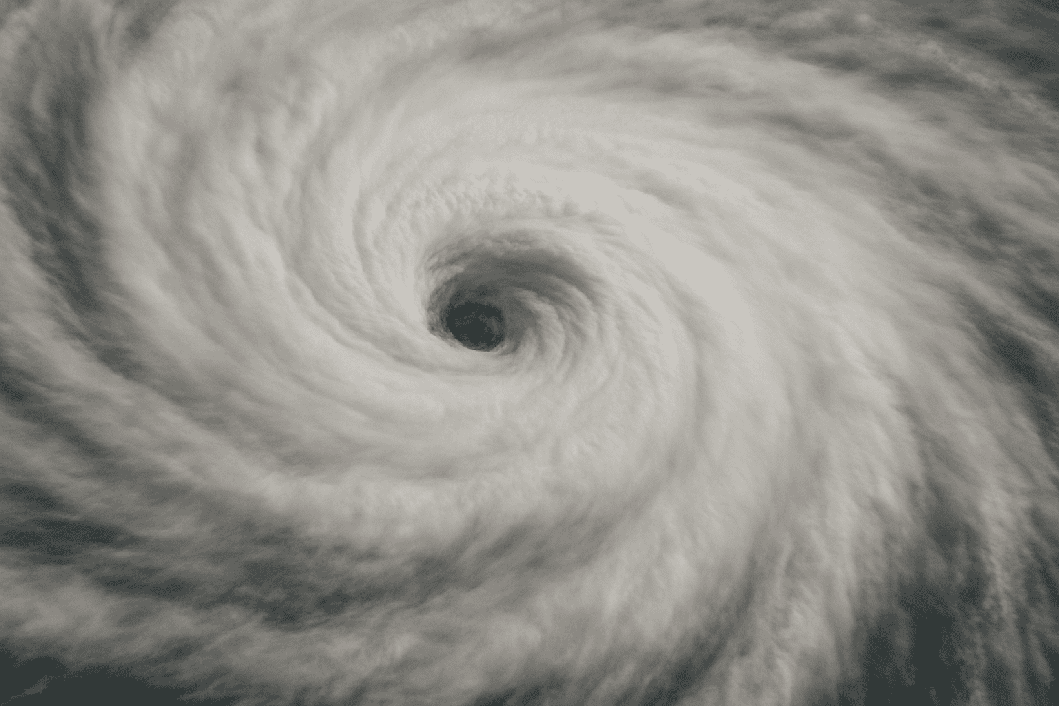
Kingston, Jamaica – The National Hurricane Center (NHC) confirmed early Monday that Hurricane Melissa has intensified into a Category 5 storm, packing maximum sustained winds of 160 mph as it churns just south of Jamaica. Forecasters warn the hurricane poses a “catastrophic threat” of wind damage, life-threatening storm surge, and flash flooding through Monday night.
According to the U.S. National Weather Service Charleston SC, Melissa could strengthen even further within the next 12 to 24 hours as it moves slowly west at about 3 mph. The storm’s current position places it roughly 100 miles south of Jamaica, where outer rainbands are already producing heavy rainfall and tropical-storm-force winds.
Forecast models from the NHC show Melissa tracking north-northeast by midweek, possibly passing near or east of the Bahamas on Wednesday before moving into open Atlantic waters later in the week. Bermuda may experience tropical-storm-force winds by Thursday night into Friday, depending on the storm’s eventual turn.
Residents in Jamaica, the Cayman Islands, and eastern Cuba are urged to complete emergency preparations immediately, as conditions will rapidly deteriorate today.
As of Monday morning, hurricane and tropical storm warnings remain in effect across Jamaica and parts of the western Caribbean.

