
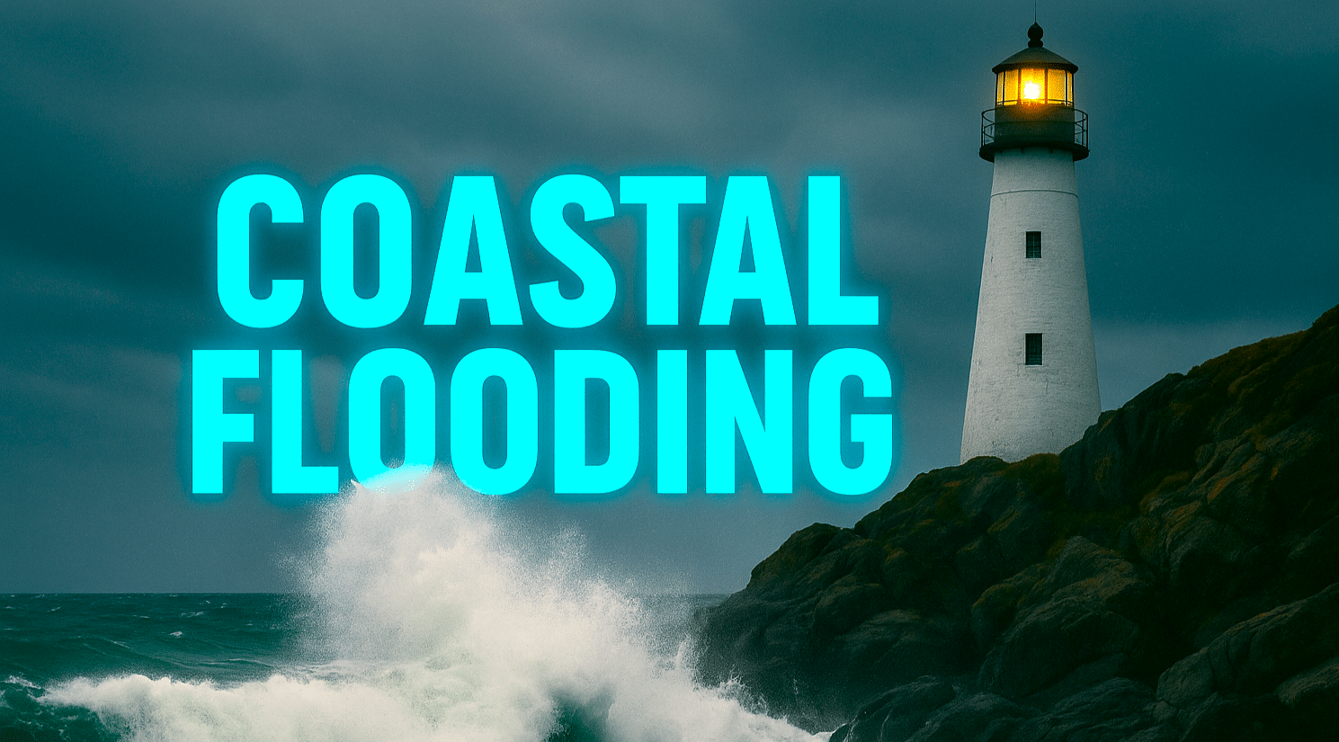
WILMINGTON, NC – The morning tide is creeping higher along the Cape Fear River, brushing against curbs and storm drains in downtown Wilmington. As dawn breaks this Tuesday, a Coastal Flood Advisory remains in effect until noon, with forecasters warning of minor tidal flooding during today’s high tide cycle. The slow rise of brackish water — glinting in early sunlight — signals fall’s typical king tide season is in full swing.
According to the National Weather Service in Wilmington, up to one-half foot of inundation above normal levels is possible in low-lying areas, particularly near the Battleship North Carolina Road and Water Street south of Market Street. Motorists are urged to avoid flooded intersections and use alternate routes until waters recede by early afternoon. Additional minor flooding may return Wednesday and Thursday during the next set of high tides.
Once the tides settle, the rest of the week looks nearly flawless. Skies will stay sunny through Saturday, with daytime highs ranging from 70 to 75 degrees and lows dipping into the upper 40s inland. Calm winds and dry air will dominate, creating ideal conditions for fall yard work, Halloween decorating, or beach cleanup efforts following today’s advisory.
To be fair, Wilmington won’t see any cold snaps yet, but early next week could bring the region’s first hint of crisp fall mornings. Until then, residents should stay alert for brief tidal flooding near riverfront areas before enjoying a picture-perfect stretch of autumn weather.
Five-Day Forecast for Wilmington, NC:
Tue: 74/58 – Coastal Flood Advisory AM; sunny and mild.
Wed: 75/49 – Clear; light southwest wind.
Thu: 72/48 – Sunny; calm and cool evening.
Fri: 70/48 – Bright skies; dry fall air.
Sat: 69/52 – Mostly sunny; seasonably pleasant.

