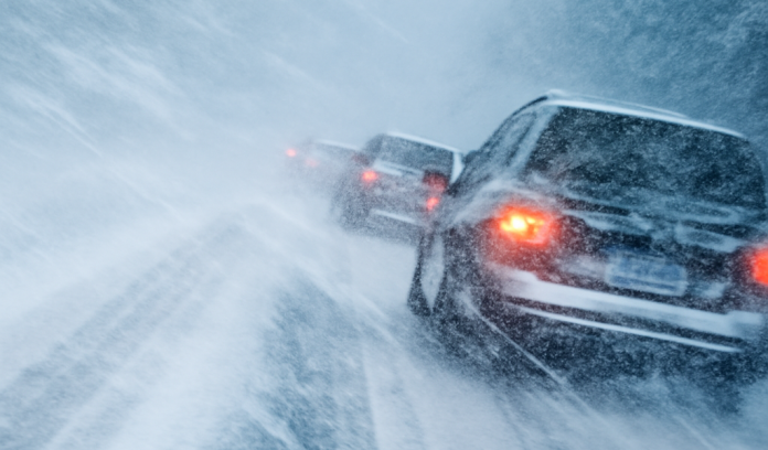
Burlington, VT – Sudden snow squalls could rapidly create hazardous travel conditions across Vermont and New Hampshire Thursday and Friday.
According to the National Weather Service Weather Prediction Center, scattered snow squalls are expected to develop behind a strong cold front crossing the region on Thursday, with a second round possible Friday. The snow squall risk includes much of Vermont and New Hampshire, with potential impacts near population centers such as Burlington and Manchester.
Forecasters said the first round of snow squalls is likely to develop Thursday morning across northern New York and Vermont before spreading east into New Hampshire. A second round is expected Friday afternoon, moving west to east. While snow squalls are typically brief, they can be intense and dangerous.
Snow squalls can produce sudden bursts of heavy snow, gusty winds, and rapid drops in visibility to near zero. Road conditions can deteriorate within minutes, even on highways that appeared clear moments earlier. The Weather Prediction Center warned that these rapid changes significantly increase the risk of vehicle crashes.
Travel impacts are most likely along major corridors including I-89, I-91, and I-93, as well as rural and mountainous roadways where visibility and traction can worsen quickly. Commuters, students, and young workers traveling during morning or afternoon drive times may be especially affected if squalls coincide with peak traffic.
The National Weather Service advises drivers who encounter a snow squall to slow down immediately, turn on headlights and hazard lights, and avoid sudden braking. If conditions become unsafe, motorists should exit the roadway when possible and wait for conditions to improve.
Residents and travelers in Vermont and New Hampshire are urged to closely monitor local forecasts and road conditions through Friday, as snow squalls can develop with little warning and exact timing may shift.


