
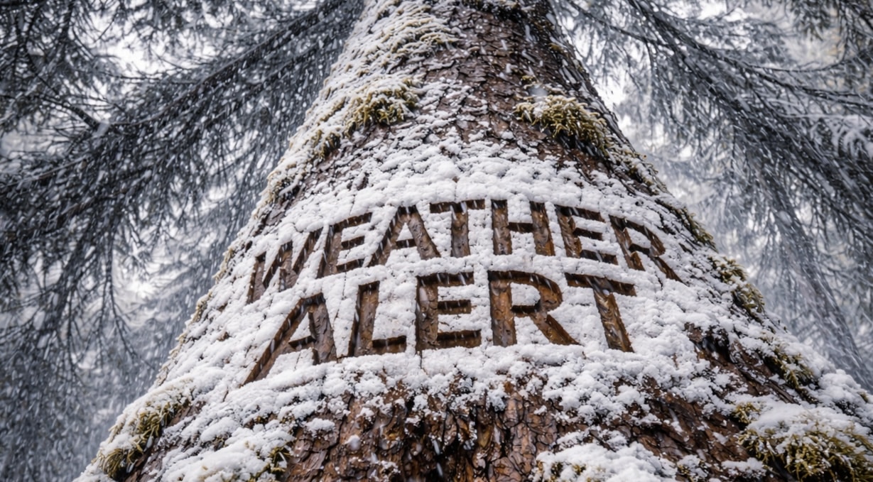
Buffalo, New York – Light lake effect snow under 1 inch could create slick spots along I-90 tonight before tapering off Friday morning across Western and Central New York.
According to the National Weather Service in Buffalo, scattered lake effect snow showers will linger through the evening and gradually diminish overnight into early Friday. Additional snowfall accumulations are expected to remain under 1 inch for most areas.

While totals will be minor, untreated roads and elevated surfaces could develop slick patches, particularly late tonight as temperatures fall into the single digits and teens. Forecast lows range from near 3 degrees in the North Country, including Watertown and Clayton, to around 10 to 15 degrees across Buffalo, Rochester, and Jamestown.
Major corridors including Interstate 90 between Buffalo and Rochester, Interstate 490 in Rochester, Interstate 86 near Jamestown, and Interstate 81 toward Watertown may experience localized reduced visibility during passing snow showers.
Forecasters emphasize that widespread impacts are not expected, but brief slick stretches may affect early Friday commuters. Drivers are encouraged to slow down and allow extra stopping distance on untreated surfaces.
Conditions are expected to improve gradually after sunrise Friday as snow showers diminish and skies partially clear.
Students heading to school and morning commuters should remain alert for icy patches, especially on bridges and overpasses.
Additional updates will be issued if lake effect bands persist longer than currently forecast.

