
Blacksburg, Virginia – Virginia’s winter grip feels sharper by the hour, with crisp air biting exposed skin and winds rattling bare trees across the New River Valley. Pavement stays dry for now, but temperatures hover low enough that any moisture this weekend could turn slick fast. Drivers and walkers should brace for changing conditions as the Jan 17–18 weekend approaches.
According to the National Weather Service office in Blacksburg, scattered snow showers remain possible at times, with wind gusts topping 30 mph early in the period. Wind chills have hovered in the single digits, and cold air will linger even as daytime highs briefly rebound.

Friday brings increasing clouds and a noticeable temperature climb, pushing highs near 40 degrees. That break is short-lived. By Friday night into Saturday, light snow may develop, especially during the morning hours, before mixing with rain as temperatures edge above freezing. Wet roads could refreeze quickly after sunset as colder air returns.
Saturday’s high near the mid-40s may melt earlier snow, but to be fair, that creates a familiar January problem. Flash freezing becomes a concern Saturday night as readings drop into the low 20s. Light rain or snow showers could linger, raising the risk for black ice on secondary roads and bridges around Montgomery County.
Sunday turns colder and quieter. Sunshine returns, but highs struggle to reach the upper 20s. Any untreated slush could stay frozen through the day. Plan extra travel time, especially during early morning drives.
Cold conditions persist into early next week, with more daylight slowly returning. Traveling this weekend? Share what road conditions look like where you are.
Five-Day Weather Outlook for Blacksburg, VA
Friday: Increasing clouds, high near 40
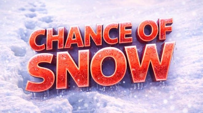
Saturday: Chance of snow changing to rain, high near 44
Sunday: Partly sunny and colder, high near 28
Monday: Sunny, high near 34
Tuesday: Sunny and cold, high near 25

