
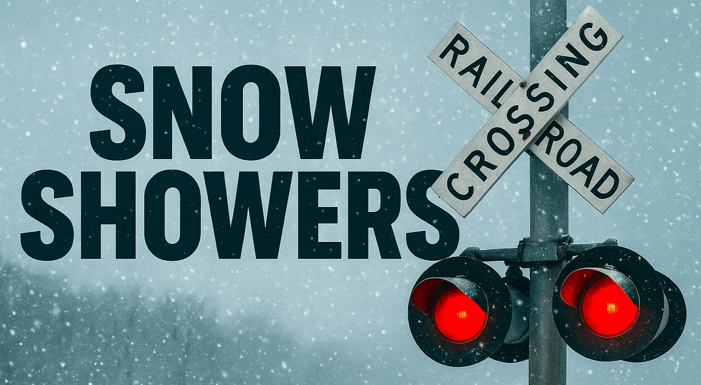
Light snow across Central New York and northeastern Pennsylvania is expected to continue through tonight, bringing minor accumulations and increasing cold across the region. The National Weather Service in Binghamton reported the pattern in a Saturday morning update.
According to the agency, Central New York will see scattered snow showers and flurries today, with totals generally below 1.5 inches north of Interstate 90. A fast-moving system is forecast to bring steadier light snow to northeast Pennsylvania, the Twin Tiers and the Catskills this evening and tonight. The Weather Service stated that 1 to 2 inches of accumulation is expected for most areas, with locally up to 3 inches possible in parts of northeast Pennsylvania near the Wyoming Valley and Poconos.
The agency noted that lake-effect snow showers are expected to redevelop Sunday as colder air moves into the region. High temperatures Sunday are projected to fall into the upper teens and lower 20s, with wind chills dropping sharply after sunset.
Road conditions may become slick at times, particularly tonight as steadier snow spreads into the southern tier of New York and northeast Pennsylvania. Commuters and weekend travelers should monitor changing conditions through Sunday.
Forecast maps released with the update show snowfall projections through 1 p.m. Sunday along with expected high temperatures. The Weather Service emphasized that very cold wind chills are likely Sunday night into early Monday as the colder air mass settles in.
This weekend pattern follows several days of on-and-off snow showers across Central New York. Additional updates will be provided as conditions evolve.

