
Bangor, Maine – Light snow and patchy freezing drizzle could affect parts of northern and central Maine Tuesday afternoon and evening, with minor travel impacts possible along Interstate 95 and US-1.
According to the US National Weather Service in Caribou, mainly clear skies this evening will give way to increasing clouds overnight. Overnight lows are expected to fall into the mid-teens, slightly milder than recent nights.

A chance of snow showers will develop Tuesday afternoon into Tuesday evening, primarily north of the Katahdin region. Forecasters indicate light accumulations are possible, with around a dusting to up to 2 inches in localized areas. The Bangor region and Downeast areas could also see patchy freezing drizzle Tuesday evening, which may create slick spots on untreated roads.
High temperatures Tuesday are forecast in the low to mid-30s, with nighttime lows dropping into the lower 20s.
Drivers along I-95 from Bangor to Houlton and along US-1 near Caribou and Presque Isle should monitor conditions late Tuesday, especially after sunset when surface temperatures cool.
Looking ahead, additional snow is possible late Friday into early Saturday, particularly across the Bangor region and Downeast Maine. There is also early indication of a potential Nor’easter late this weekend into early next week, though confidence remains low at this time.
The changing conditions may be especially relevant for students and commuters traveling during the Tuesday evening hours.
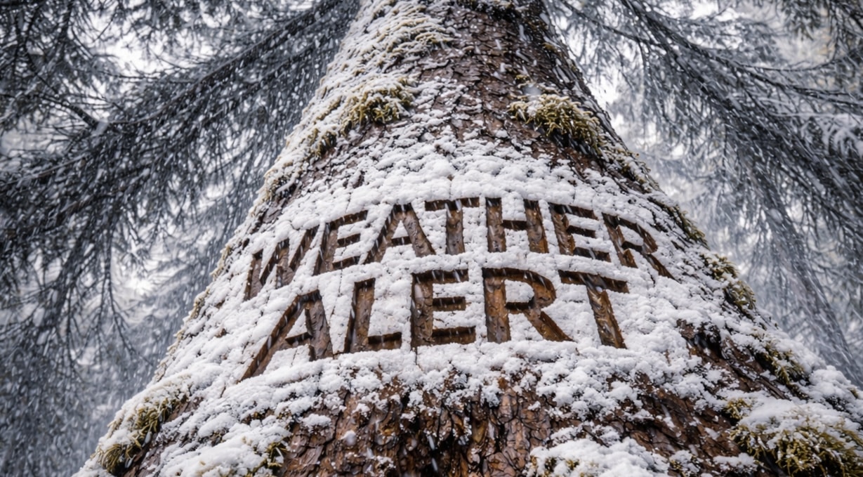
Residents are encouraged to monitor forecast updates from the National Weather Service Caribou office.

