
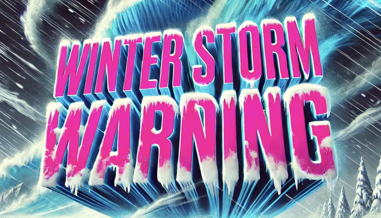
Baltimore, MD – A Winter Storm Warning and Winter Weather Advisory are in effect across much of Maryland, Washington, D.C., and northern Virginia from Sunday evening through Monday morning, with accumulating snow and ice expected to impact travel.
According to the US National Weather Service Baltimore/Washington office, winter weather alerts stretch from the Maryland Panhandle and western Maryland east through the Baltimore metro, and south into parts of northern and central Virginia. The warning area — shown in pink on the NWS map — includes Baltimore, Hagerstown, Westminster, and surrounding communities, while advisory areas — shaded in purple — cover areas including Winchester, Warrenton, and Fredericksburg.

Forecasters say snow is expected to develop Sunday afternoon and evening, becoming heavier at times overnight. Some areas could also see a mix of sleet or freezing rain, which may create slick roadways by the Monday morning commute.
Major travel corridors including I-95, I-70, I-81, and I-66 could see hazardous conditions late Sunday into early Monday. Drivers are urged to allow extra travel time and prepare for reduced visibility and icy patches.
The storm system is expected to taper off by mid to late Monday morning, though lingering slick spots may remain during the early commute.
Residents are encouraged to monitor local forecasts and check for updated totals as the system approaches.
This article was produced by a journalist and may include AI-assisted input. All content is reviewed for accuracy and fairness.
Follow us on Instagram & Facebook for more relevant news stories and SUPPORT LOCAL INDEPENDENT NEWS! Have a tip? Message us!

