

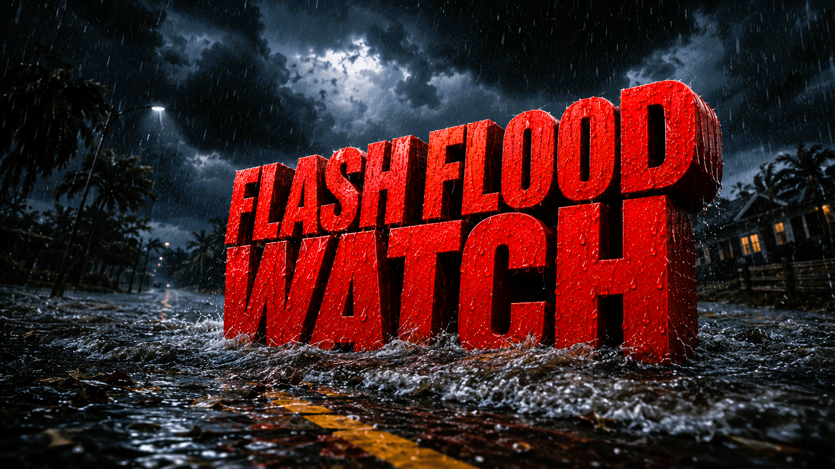
Raleigh, N.C. – Flooding concerns continue to grow across central North Carolina as repeated rounds of heavy rain and thunderstorms move through the region today and into tonight. The prolonged rainfall could create dangerous travel conditions, flash flooding and a few strong to severe storms capable of damaging winds or even an isolated tornado.
According to the National Weather Service in Raleigh, a Flood Watch remains in effect for all of central North Carolina through tonight, with the heavy rain threat continuing into Friday morning. Multiple slow-moving weather systems will bring repeated rounds of showers and thunderstorms across the region.

Forecasters expect 2 to 4 inches of rainfall across much of central North Carolina, with localized totals exceeding 6 inches, especially across the Triangle. The greatest flash flooding risk extends across the northeast Piedmont and the northern and central Coastal Plain, including Raleigh, Durham, Chapel Hill, Burlington, Henderson, Rocky Mount, Wilson and surrounding communities.
In addition to flooding, a few thunderstorms could become strong to severe, producing damaging wind gusts and even an isolated tornado. Water-covered roads, rapidly rising creeks and poor visibility will make travel hazardous, particularly during periods of intense rainfall.
Residents are urged to avoid unnecessary travel during the heaviest rain, never drive through flooded roadways and ensure they have multiple ways to receive weather warnings. Those living in flood-prone areas should be prepared to move to higher ground if Flash Flood Warnings are issued.
The National Weather Service will continue monitoring this evolving situation, and additional Flood Warnings, Flash Flood Warnings or Severe Thunderstorm and Tornado Warnings may be issued throughout the day and tonight.


