
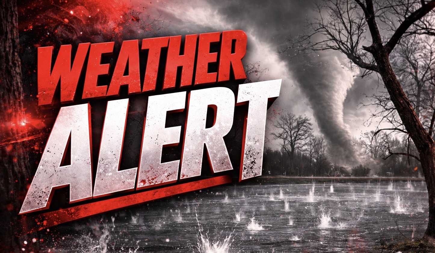
Joliet, Ill. – Severe thunderstorms are actively slamming parts of Will and Grundy counties right now, with golf ball-size hail already reported and damaging winds moving quickly through the region.
According to the National Weather Service in Chicago, a Severe Thunderstorm Warning remains in effect until 10:30 a.m. for southern Kendall, western Will, Grundy, and northwestern Kankakee counties. As of 9:29 a.m., multiple storms were tracking east at speeds between 40 and 60 mph, stretching from Morris through Shorewood to New Lenox.

The most intense impacts are being reported near Joliet and New Lenox, where hail up to 1.75 inches has already been confirmed by trained spotters. Wind gusts up to 60 mph are also possible, posing a risk for downed tree limbs and damage to roofs, siding, and vehicles.
Communities in the direct path include Joliet, Plainfield, Romeoville, Lockport, Bourbonnais, Morris, Channahon, and Braidwood. Major routes such as I-55 and I-80 could see rapidly deteriorating conditions with hail-covered roads and sudden visibility drops.
Residents should move indoors immediately, staying away from windows and taking shelter in an interior room on the lowest floor. Travel should be delayed if possible as storms continue pushing east through mid-morning.
Warnings remain in effect until 10:30 a.m., and additional alerts may be issued as storms continue to intensify.

