
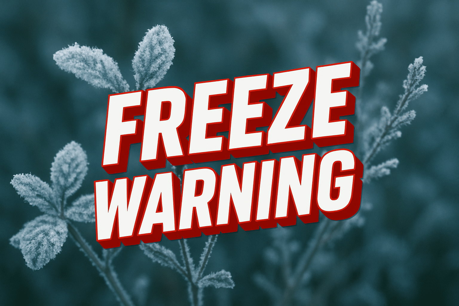
Charleston, WV – A sharp overnight temperature drop could damage early spring plants across southern West Virginia as a freeze warning takes effect after midnight and lasts through Saturday morning.
According to the National Weather Service in Charleston, temperatures could fall to around 25 degrees between midnight and 10 a.m. Saturday, creating frost and freeze conditions across the coalfields of West Virginia, northeast Kentucky, and parts of southwest Virginia. The warning includes communities such as Huntington, Logan, Williamson, and Beckley, where sensitive vegetation may not survive the cold snap.

Gardeners and growers across the region are being urged to cover plants, bring potted vegetation indoors, and protect early crops before temperatures fall overnight. Cold valleys and sheltered areas could experience the most significant frost accumulation by daybreak Saturday.
While major travel disruptions are not expected, the sudden chill arrives during the growing season when many residents have already begun outdoor planting. Agricultural officials warn even a few hours below freezing can damage tender vegetation and budding fruit trees.
Temperatures will rebound quickly by Saturday afternoon as sunshine returns, but the early morning cold could still cause losses for unprotected plants. Additional advisories could be issued if cold conditions linger into the weekend.

