
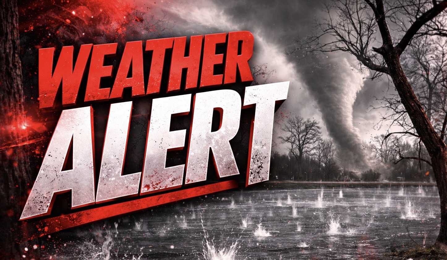
Pittsburgh, Pennsylvania – Drivers across parts of Indiana and Pennsylvania have a narrow window to prepare before a fast-moving line of severe storms pushes in by early Sunday evening, bringing wind gusts up to 70 mph and hail large enough to damage vehicles.
According to the National Weather Service Storm Prediction Center, a level 3 of 5 severe risk is in place through Sunday night, with storms expected to intensify after 4 p.m. and peak between 6 p.m. and 10 p.m. A few rotating storms may develop ahead of the main line, raising the chance for an isolated tornado.

The greatest impact zone stretches from central Indiana through Ohio into western and central Pennsylvania, including Indianapolis, Columbus, and Pittsburgh. Wind gusts between 55 and 70 mph could down trees and power lines, especially along I-70 and I-76 corridors. Isolated gusts near 75 mph remain possible. Hail up to 2 inches in diameter could dent vehicles and shatter windows in stronger cells.
Utility crews across the region are on alert for scattered outages. Residents should secure outdoor items immediately, charge devices, and avoid travel during the evening peak when visibility may drop below a half mile in heavy rain.
Storms will continue pushing east overnight, with additional warnings likely issued as the line strengthens through Sunday night.

