
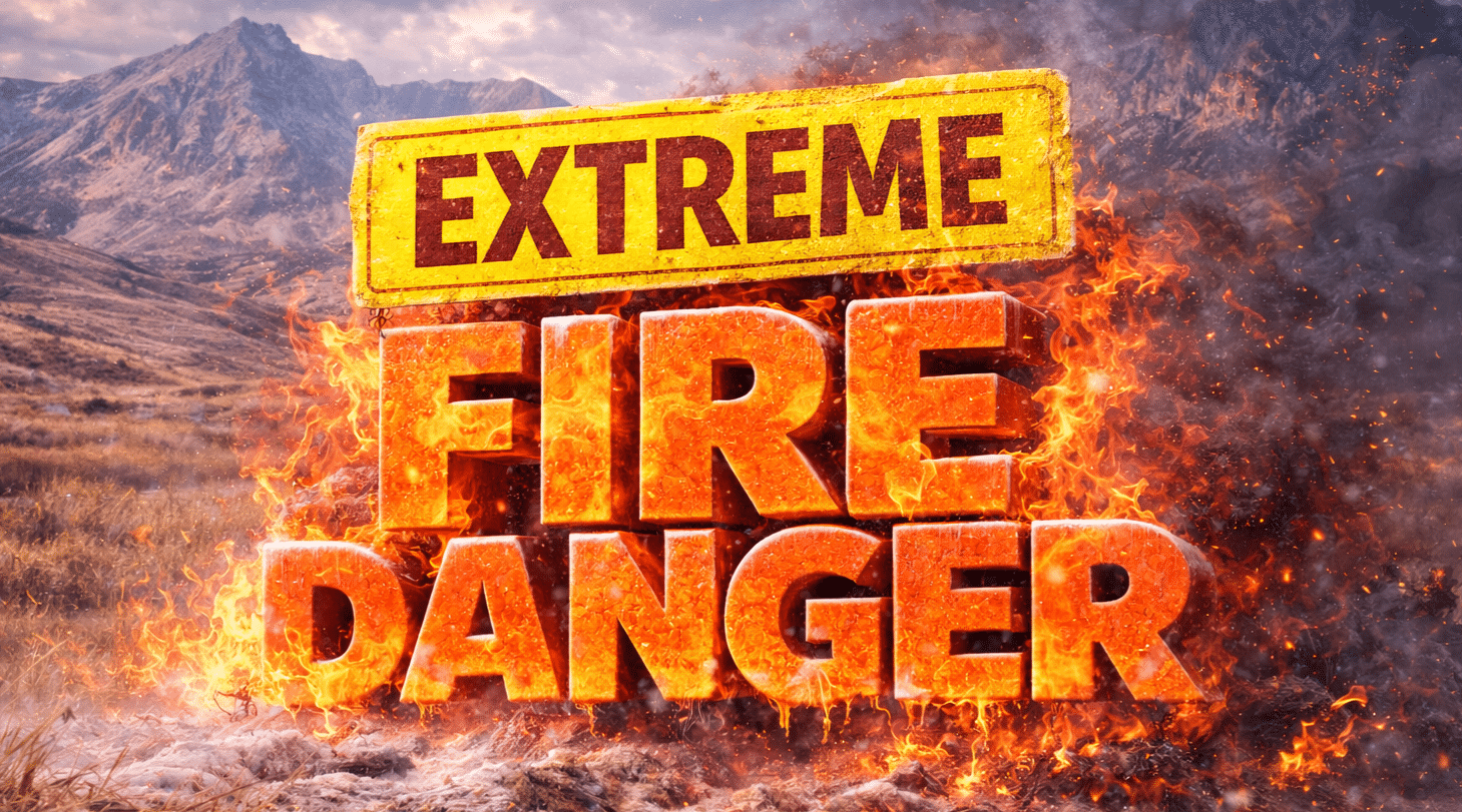
Denver, CO – Fires could ignite and spread rapidly across the Front Range within hours Saturday as record March heat combines with extremely dry air and gusty winds.
According to the National Weather Service in Denver and Boulder, a Red Flag Warning is in effect from 11 a.m. to 10 p.m. Saturday for the foothills and mountain valleys, expanding to the I-25 corridor and northeast plains from 2 p.m. to 10 p.m. Areas impacted include Denver, Fort Collins, Boulder, Greeley, and stretches along Interstate 25 and Interstate 76. Relative humidity will drop as low as 3 percent, with west winds gusting between 30 and 40 mph.

Conditions will peak during the afternoon and early evening when heat and wind align across lower elevations and foothills. The Cheyenne Ridge and Pawnee National Grassland remain under elevated fire risk into Friday evening, with similar conditions returning and expanding statewide Saturday.
Communities along the Palmer Divide, South Park, and Weld County face heightened ignition risk, especially near dry grasslands and open terrain. Officials urge residents to avoid outdoor burning, secure equipment, and prevent sparks from vehicles or machinery.
The danger will ease after 10 p.m. Saturday as winds weaken and humidity slowly recovers, but fire conditions remain volatile through the evening with additional warnings possible.

