
Albany, New York – Cold air is gripping eastern New York today, keeping temperatures well below recent record highs and creating a sharp chill that will impact both daytime activity and overnight conditions.
According to the National Weather Service in Albany, highs will range from 25°F to 40°F across the region Wednesday, with a mix of sun and clouds and noticeably lighter winds compared to earlier in the week. Despite calmer conditions, temperatures remain far below record highs in the 70s for this time of year.

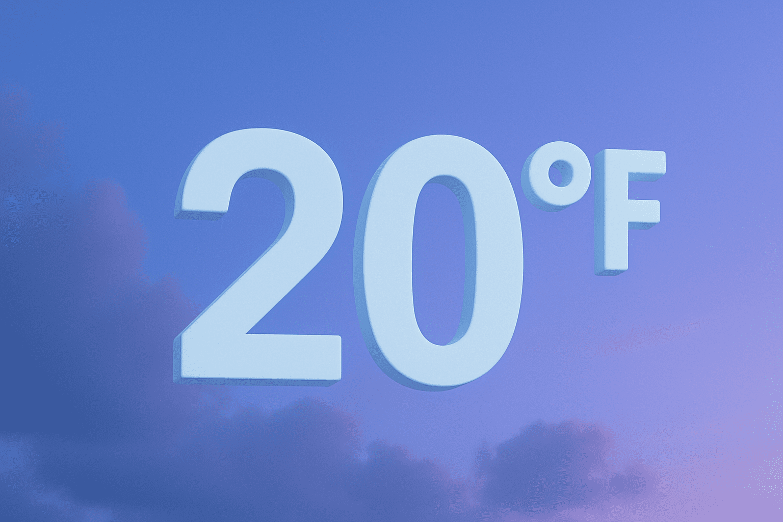
Cities including Schenectady, Troy, and Glens Falls will struggle to climb out of the 20s and 30s, with colder pockets in higher elevations. Road conditions are generally dry, but shaded and untreated areas may still hold icy patches from prior snowmelt and refreeze cycles.
Tonight, temperatures drop sharply into the 14°F to 27°F range, increasing the risk of black ice on bridges and overpasses during the early Thursday commute. Residents should use caution when traveling overnight or early in the morning.
While conditions remain quiet and dry through Thursday, the colder-than-average pattern will persist before a gradual warming trend begins later in the week. Additional updates may follow as temperatures begin to rebound and new systems approach.

