
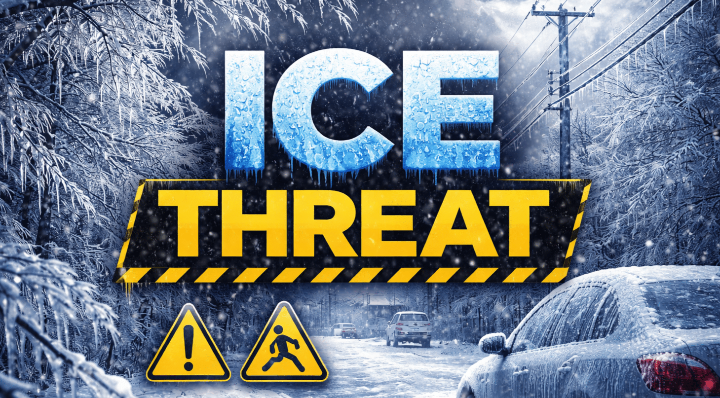
Gaylord, Michigan – Ice-coated roads and damaging wind gusts could make travel nearly impossible across parts of northern Michigan before sunrise Monday as freezing rain and sleet continue to build across the region. Up to a quarter inch of ice combined with wind gusts approaching 40 mph could snap tree limbs and disrupt power for thousands overnight.
According to the National Weather Service in Gaylord, a Winter Weather Advisory remains in effect until 8 a.m. Monday for much of northern Lower Michigan. Counties under the advisory include Manistee, Wexford, Missaukee, Alpena, Benzie, and Oscoda, where a mix of snow, sleet, and freezing rain continues to fall.

Ice accumulation could reach 0.25 inches in several communities including Cadillac, Alpena, and Benzonia, while areas near Lake Michigan and inland forests may see additional snow and sleet totals between 1 and 2 inches. Winds gusting between 35 and 40 mph may worsen conditions by bringing down ice-laden branches.
Roadways such as U.S. 131 near Cadillac, M-115 across Wexford County, and U.S. 23 near Alpena could become slick overnight, especially on bridges and overpasses. Officials warn the worst conditions may arrive during the early Monday commute.
Drivers should slow down, allow extra stopping distance, and avoid unnecessary travel overnight. Power crews across northern Michigan are also preparing for scattered outages as ice continues to build on trees and lines.
Conditions should gradually improve after 8 a.m. Monday as temperatures rise, but slick spots may linger through the morning commute. Additional advisories could be issued if ice accumulation continues overnight.

