
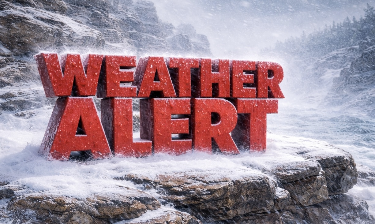
Green Bay, Wisconsin — An intense snow band across northern Wisconsin Sunday morning is producing snowfall rates up to 4 inches per hour and hazardous travel conditions.
According to the National Weather Service in Green Bay, the heavy band of snow stretches from Marshfield and Wausau north to Rhinelander and east through Shawano, Marinette, Oconto and Florence counties.

Snowfall rates of 2 to 4 inches per hour have been reported within the band. Early reports from Wausau, Junction City and Marshfield indicate between 8 and 13 inches of snow had already fallen by mid-morning Sunday.
Forecasters say the intense snow band is expected to continue through the rest of the morning, maintaining heavy snowfall rates across the region. In some areas, thundersnow is possible within the strongest part of the storm. Farther south toward Wautoma, precipitation could briefly mix with sleet or freezing rain.
Travel conditions are expected to remain difficult while the band persists. The National Weather Service warned motorists to expect snow-covered roads and visibility around one-quarter mile or less, conditions that can significantly slow traffic and increase crash risks.
The heaviest snowfall may briefly ease later Sunday afternoon before another round of heavier snow arrives Sunday evening, potentially prolonging hazardous travel conditions into the night.
Winter Storm Warnings and Blizzard Warnings remain in effect across parts of Wisconsin through Monday, according to the National Weather Service.
Officials encourage drivers to allow extra travel time, reduce speed and monitor updated forecasts as the storm evolves.
Heavy snowfall during peak morning travel can especially impact student drivers and younger commuters heading to weekend work shifts.
This article was produced by a journalist and may include AI-assisted input.
All content is reviewed for accuracy and fairness.
Follow us on Instagram & Facebook and support local independent news.
Have a tip? Message us. ❄️🚗

