
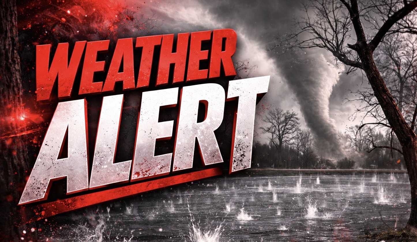
Indianapolis, Indiana – Millions of residents across Indiana and neighboring Midwest states are under a tornado watch Wednesday morning as forecasters warn conditions remain favorable for severe storms capable of producing damaging winds and isolated tornadoes.
According to the National Weather Service Storm Prediction Center, Tornado Watch 41 remains in effect until 12 p.m. EDT Wednesday and includes a large portion of central and southern Indiana, along with surrounding areas of Illinois, Ohio and Kentucky.

The watch covers dozens of counties across Indiana, including major population centers such as Indianapolis in Marion County, Evansville in Vanderburgh County, Terre Haute in Vigo County, Bloomington in Monroe County and Columbus in Bartholomew County.
Forecasters say storms developing within the region could produce a couple of tornadoes, scattered wind gusts up to 70 mph and hail up to ping pong ball size.
More than 60 Indiana counties fall within the watch zone, including Hamilton, Hendricks, Johnson, Morgan, Madison, Clark, Floyd, Dubois and Warrick counties, placing a large portion of the state’s population at risk if storms rapidly intensify.
The alert comes less than a day after severe storms caused major damage across parts of Illinois and Indiana, where suspected tornadoes and extremely large hail were reported.
Emergency officials urge residents across the watch area to remain weather aware through the morning hours and have multiple ways to receive warnings, including mobile alerts, weather radios and local media updates.
If storms strengthen quickly, meteorologists warn that tornado warnings could be issued with little notice before the watch expires at noon Wednesday.

