
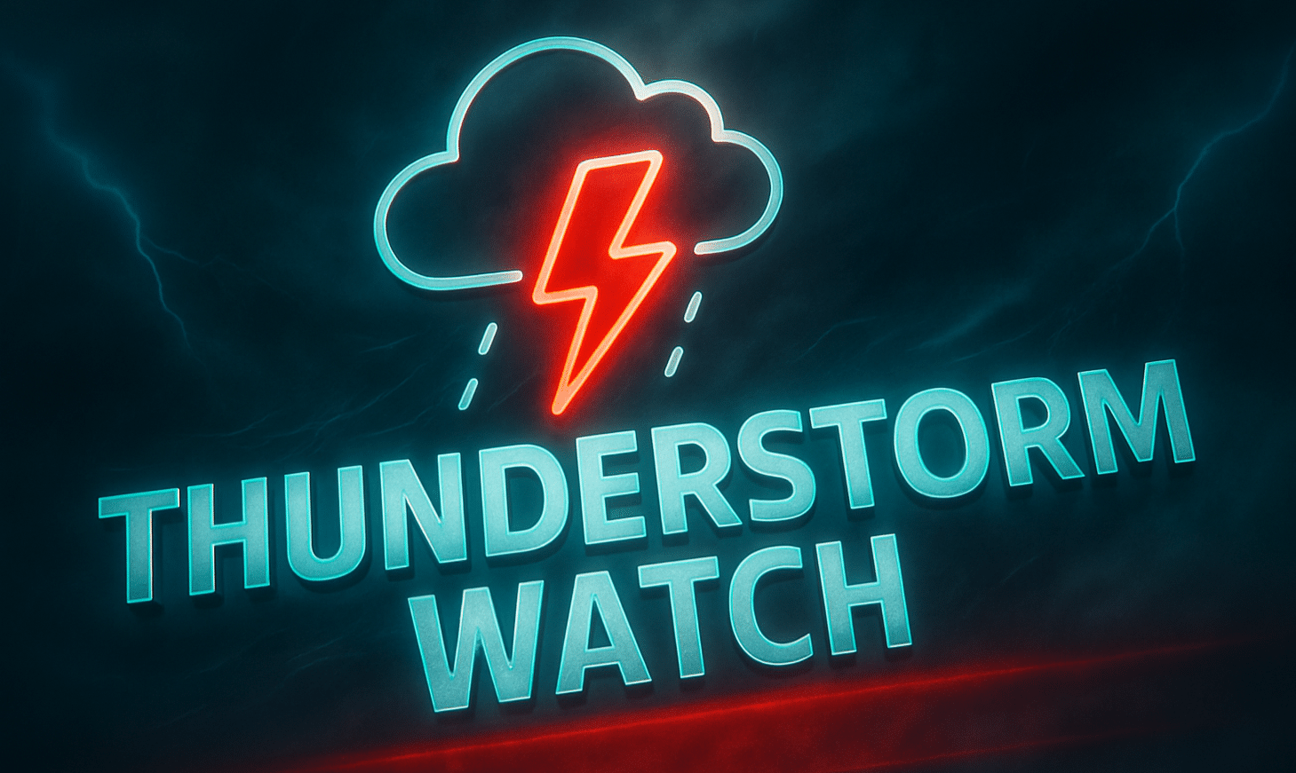
Norman, Oklahoma — A Severe Thunderstorm Watch remains in effect until 2 p.m. CST Saturday for parts of western Tennessee, where strong storms could bring damaging winds and hail.
According to the National Weather Service Storm Prediction Center, the watch includes several counties across the region, including Shelby, Madison, Tipton, Fayette, Lauderdale, Dyer, Gibson, and Obion counties.

Other counties included in the watch are Benton, Carroll, Chester, Crockett, Decatur, Hardeman, Hardin, Haywood, Henderson, Henry, Lake, McNairy, and Weakley counties.
Communities in the watch area include Memphis, Jackson, Dyersburg, Covington, and Union City, along with surrounding areas.
Forecasters warn that thunderstorms moving across the Mid-South this morning and early afternoon could produce scattered damaging wind gusts up to 70 mph, capable of downing trees and power lines.
Additional hazards include isolated large hail up to about 1 inch in diameter, and meteorologists say a brief tornado or two cannot be ruled out.
Storms are expected to move generally west to east across the region through the early afternoon hours.
Officials emphasize that a Severe Thunderstorm Watch means conditions are favorable for severe storms, and residents should remain alert for warnings if storms intensify.
Strong storms could also affect midday travel, outdoor events, and weekend activities across the Memphis metro area and surrounding communities.
Residents are encouraged to monitor weather alerts and ensure they have multiple ways to receive warnings as conditions evolve.

