
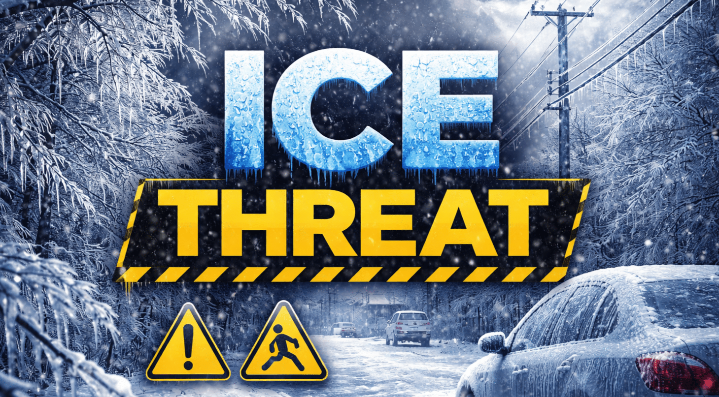
Illinois commuters are stepping into a damp, chilly morning with temperatures hovering near 36 degrees and the threat of patchy freezing drizzle just outside the city. Pavement looks wet, but in colder pockets north and west of Chicago, a thin glaze could form before midmorning.
According to the National Weather Service in Chicago, there is a slight chance of freezing rain or freezing drizzle early this morning, mainly across interior northern Illinois where temperatures briefly dip below 32 degrees. Isolated slick spots are possible during the early commute, especially on untreated bridges and overpasses along I-90, I-55 and I-80.

Clouds dominate today with a 20 percent chance of light showers. Highs reach near 39 degrees. Roads should improve as temperatures rise, but drivers should stay alert in shaded areas. This is prime time for flash freezing when wet pavement refreezes quickly after sunset.
Midweek remains cool, with highs near 40 Wednesday and showers becoming more likely late Wednesday night into Thursday. Thursday brings a 70 percent chance of showers and possibly a thunderstorm, with highs near 43 degrees.
A noticeable warm spell arrives by Friday, when highs jump to around 60 degrees with showers likely. Weekend readings climb into the lower 60s before sunshine returns Sunday.
We spring clocks ahead at 2 a.m. Sunday, March 8, adding longer evening light across the Chicago metro. Early next week trends milder, with highs near the low 60s signaling true March Spring Vibes.
Watch for slick patches early and plan extra time if traveling. Are you seeing icy spots on your route this morning?
Five Day Outlook for Chicago, Illinois:
Wednesday: High 40°, slight showers
Thursday: High 43°, showers likely
Friday: High 60°, showers
Saturday: High 63°, chance of showers
Sunday: High 60°, sunny

