
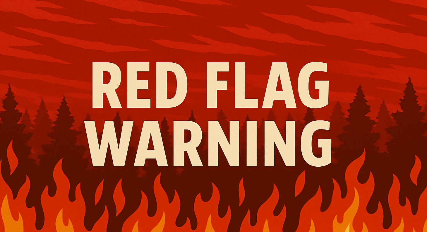
Kansas City, Missouri – Hot, dry and windy conditions are elevating fire danger across the region today.
According to the US National Weather Service in Kansas City, a Red Flag Warning is in effect from 1 p.m. to 6 p.m. Friday as temperatures climb into the upper 60s to mid-70s. Relative humidity is expected to drop between 15% and 20%, with southwest to west winds sustained at 15 to 20 mph and gusts reaching up to 30 mph.

Officials warn that fires could spread rapidly under these conditions. Residents are urged not to burn outdoors during the warning period.
Rain is expected to move into central and southern Missouri on Sunday. Forecasters say a transition zone of mixed precipitation could develop along the Interstate 70 corridor, including freezing rain and sleet.
Across northern Missouri, light snow is forecast Sunday night into early Monday. Current projections estimate snowfall totals between 1 and 3 inches, though precipitation types may shift depending on the track of the system.
Hazardous travel conditions are possible, especially north of the Missouri River. Peak rain and snow impacts are expected Sunday afternoon and evening.
Commuters and students returning from weekend activities may experience changing road conditions late Sunday into early Monday.
Residents are encouraged to monitor updated forecasts as the system develops.
This article was produced by a journalist and may include AI-assisted input.
All content is reviewed for accuracy and fairness.
Follow us on Instagram & Facebook and support local independent news.
Have a tip? Message us.

