
Burlington, IA – Communities across eastern Iowa and northwest Illinois are monitoring the potential for accumulating snow Wednesday night as a system trends slightly southward, according to the National Weather Service Quad Cities office.
Forecasters indicate chances for snow accumulation around 1 inch remain in the low to medium range across much of the region, including Davenport, Moline, Sterling, and Princeton. However, there is still uncertainty regarding the exact track of the system and where the heaviest swath of snow will ultimately set up.

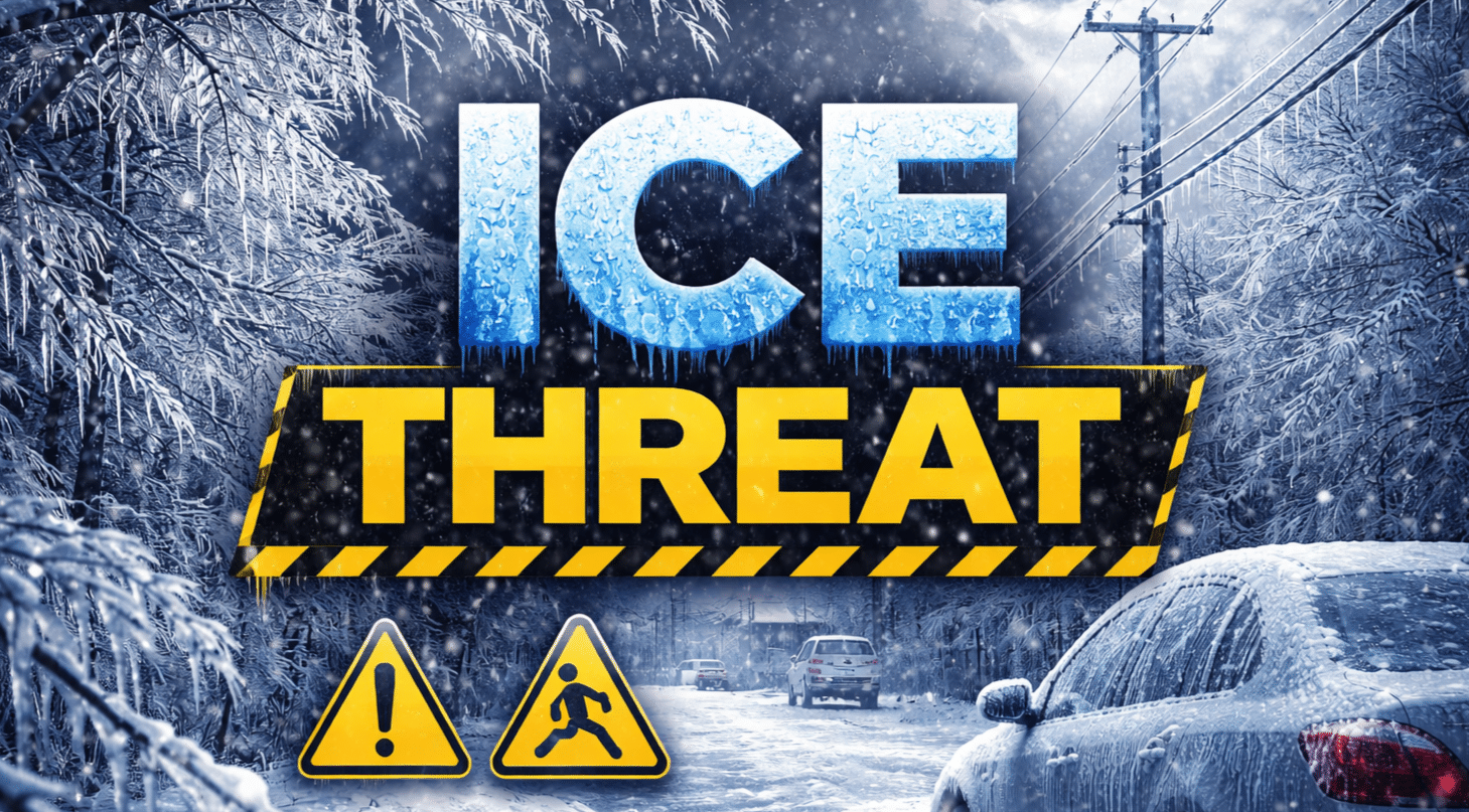
Areas south and east of Burlington face a slightly different concern. Light freezing rain or sleet could mix in at times Wednesday night, especially along and south of U.S. 34 and near U.S. 61. While little to no significant ice accumulation is expected, even minor icing could create slick patches on untreated roads, bridges, and overpasses.
Major travel corridors including Interstate 80, Interstate 74, Interstate 280, U.S. 61, and Illinois Route 40 may experience reduced visibility and snow-covered stretches overnight into early Thursday morning. The Thursday morning commute could be impacted, particularly in locations that receive steadier snowfall or brief wintry mix.
Confidence is moderate that most areas will see at least light accumulation, but snowfall totals and precipitation types may vary over short distances.
Drivers are encouraged to monitor updated forecasts and road conditions before traveling late Wednesday or early Thursday. Slowing down, increasing following distance, and allowing extra commute time will help reduce the risk of accidents if conditions deteriorate overnight.
Additional forecast refinements are expected as the system approaches.

