
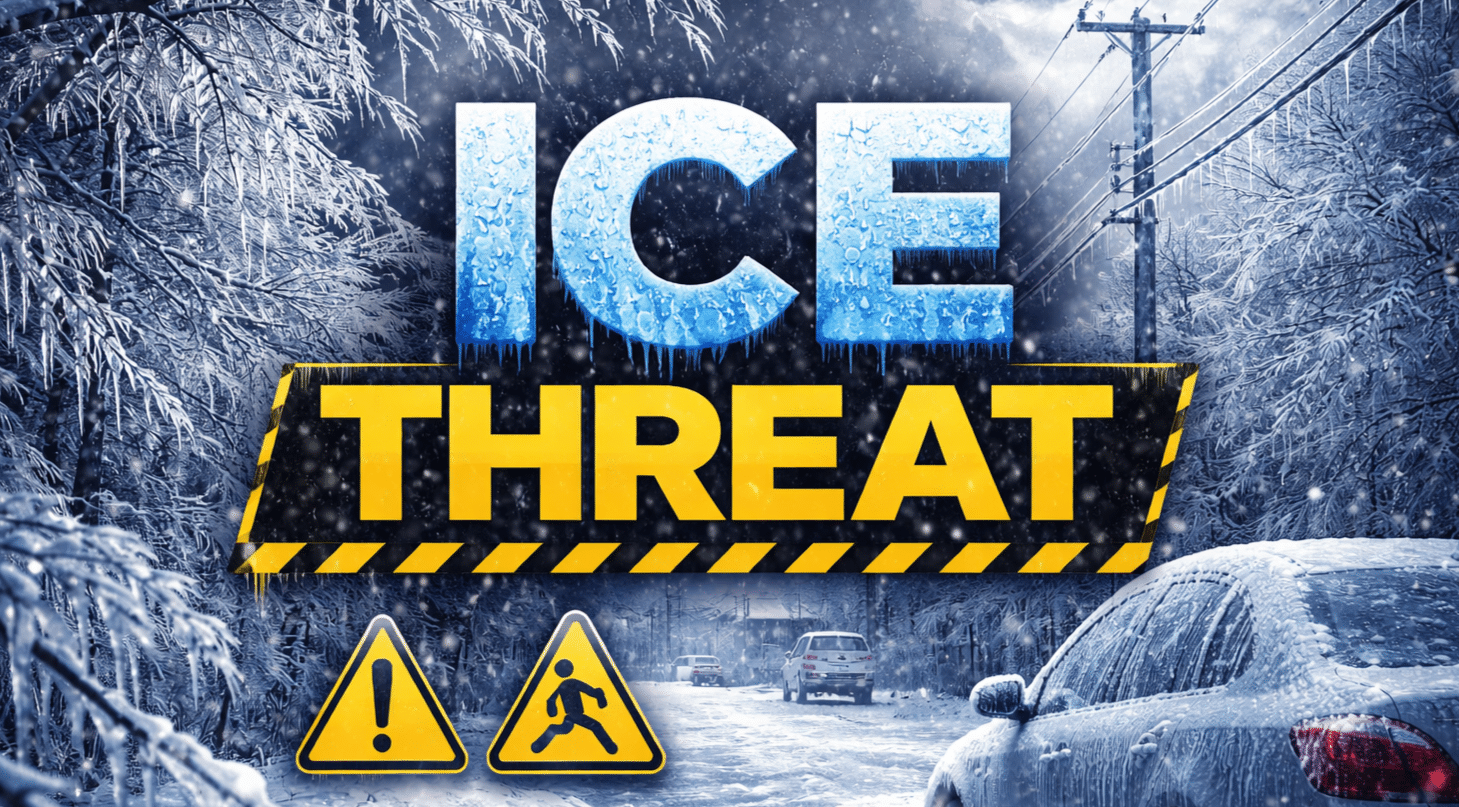
Buffalo, New York – A wintry mix will bring accumulating snow and up to a few tenths of an inch of ice east of Lake Ontario through tonight, creating slick travel on I-81 and I-86 before daybreak Saturday.
According to the National Weather Service in Buffalo, the greatest snowfall is expected across the Saint Lawrence Valley and Tug Hill Plateau, where several inches of accumulation are likely. Ice accumulations between 0.10 and 0.30 inches are possible, especially across southern Tug Hill and parts of the eastern Lake Ontario region.

Even a thin glaze will make roads treacherous.
Drivers along I-81 from Watertown to Pulaski and on NY-3 across Tug Hill may encounter snow-covered lanes and visibility under one mile in heavier bursts. Farther south, I-86 near Jamestown could see slick spots where freezing rain mixes in. Road conditions may deteriorate quickly after sunset as temperatures hover near freezing.
Periods of accumulating snow may disrupt travel east of Lake Ontario into early Saturday morning. A Winter Weather Advisory remains in effect for portions of the eastern Lake Ontario region through tonight.
Looking ahead, a nor’easter will move up the Atlantic coastline this weekend, spreading light snow into western New York Sunday into Sunday night. Current projections show a few inches possible across the Buffalo metro, with higher totals just south and east. What residents should do now: Allow extra travel time, reduce speed, and monitor 511NY for updated road conditions.
Wintry precipitation tapers Saturday morning, but additional snowfall may arrive by late Sunday.

