
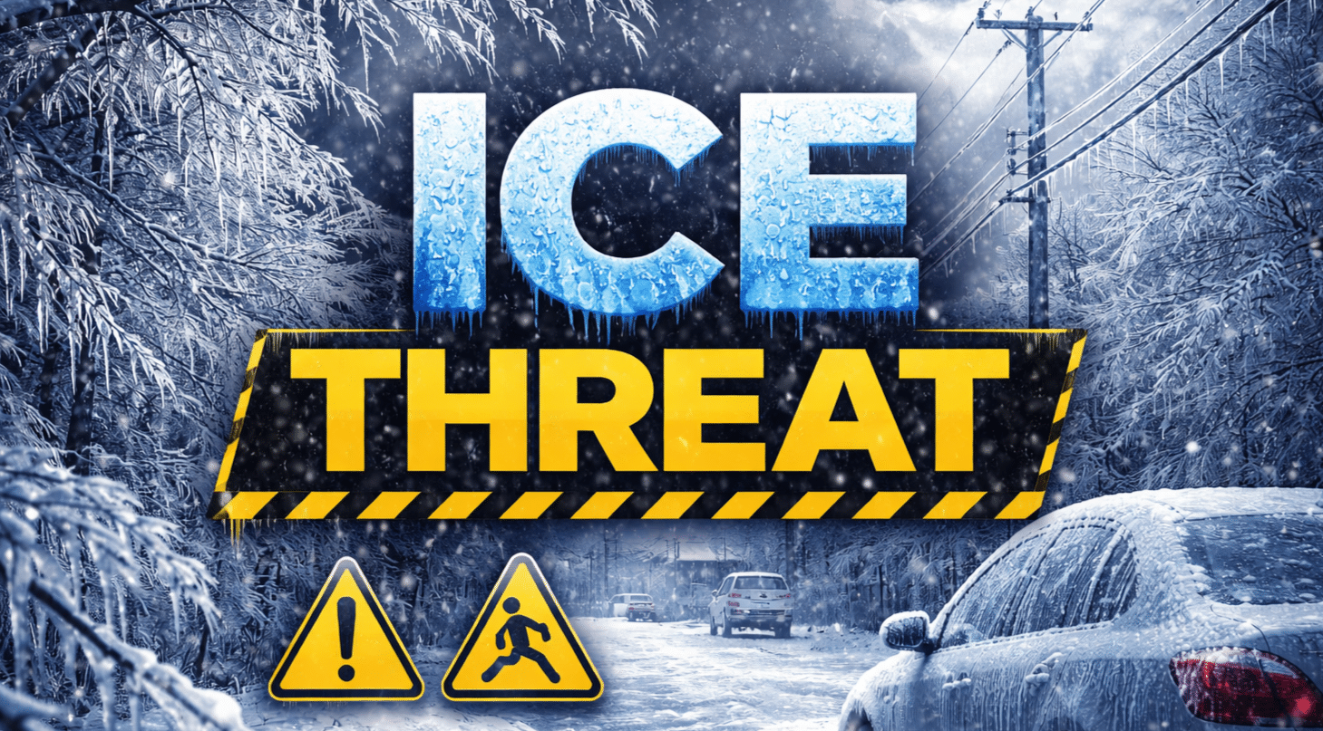
Binghamton, New York – A wintry mix is spreading across Central New York and Northeast Pennsylvania early Friday, bringing up to 0.25 inches of ice mainly east of I-81 and creating slick road conditions through noon.
According to the National Weather Service in Binghamton, snow and freezing rain will fall primarily east of I-81 through late morning before transitioning to mainly rain by mid-afternoon. Ice accumulations between 0.01 and 0.25 inches are possible from Binghamton to Oneonta, Monticello, and into the northern Poconos, with the highest glaze potential in the Catskills.

Bridges and overpasses will ice first.
Travel impacts are most likely along I-81 from Binghamton to Syracuse, along NY-17 through the Southern Tier, and on I-84 near Scranton. Road conditions may deteriorate quickly during the Friday morning commute as surface temperatures hover near freezing. Precipitation will remain mostly rain west of I-81, limiting ice concerns toward Elmira and Corning.
By Friday afternoon, warmer air pushes most areas above freezing, changing precipitation to rain. However, colder air returns Friday night into Saturday, bringing a shift back to snow. Snowfall totals of 1 to 3 inches are possible across parts of Central New York, including Syracuse and Utica, with lighter amounts south toward Scranton.
What residents should do now: Slow down on untreated roads, allow extra braking distance, and check 511NY and 511PA for live traffic and road updates before heading out.
Lingering rain changes to snow late Friday night, with light accumulations possible into Saturday morning. Winter weather advisories remain in effect for portions of Central New York and Northeast Pennsylvania through Friday afternoon.

